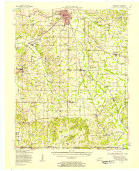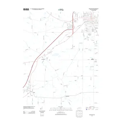
1952 Map of Mayfield
USGS Topo · Published 1953About this map
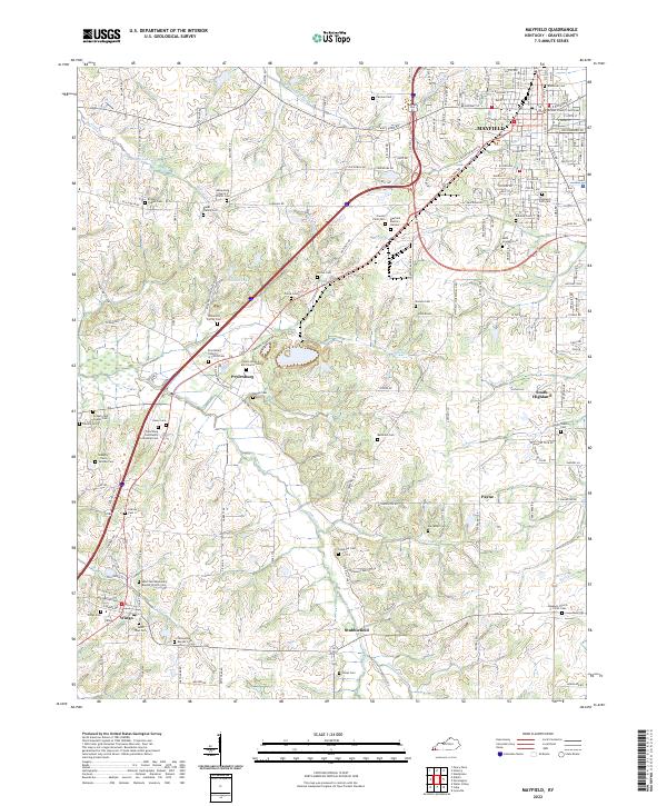
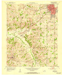
The Illinois Central railroad cuts a straight line through the heart of Graves County, anchoring the town of Mayfield in the northeast and passing through Pryorsburg toward Wingo. This 1952 snapshot shows a landscape defined by the intersection of rural agriculture and small-town industry, with the Kentucky Agricultural Exp Sta and a Clay Mine located between the larger settlements. The map is particularly dense with family and community landmarks, featuring an extensive network of cemeteries such as Maplewood Cem, St Joseph Cem, and Saxon Cem. Tributaries like Obion Creek and West Fork Mayfield Creek wind through the terrain, which is dotted with rural institutions like Pleasant Hill Sch and Shady Grove Ch. Smaller communities like Happy Hollow, New Liberty, and Stubblefield are clearly marked, providing a detailed record of the mid-century population distribution.
Find a feature on this map
56 named features on this map. Tap any name to fly to it.
Don’t see what you’re looking for? This feature index may not catch every label — zoom into the map to look around manually.
Map Details
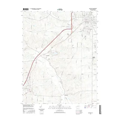
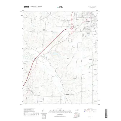
Editions of this 1952 Mayfield Map
This is the sole edition of this map. No revisions or reprints were ever made.
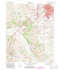
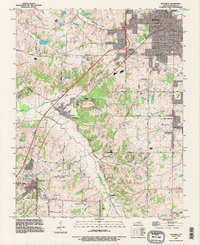
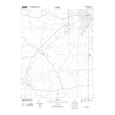
Historical Maps of Mayfield Through Time
9 maps found