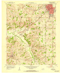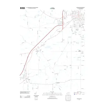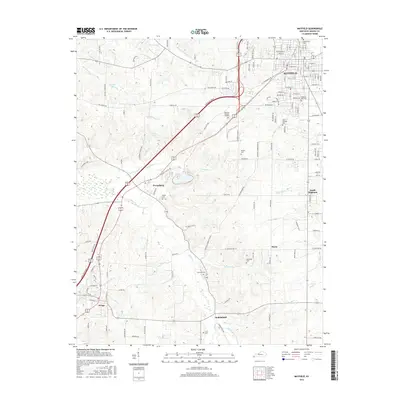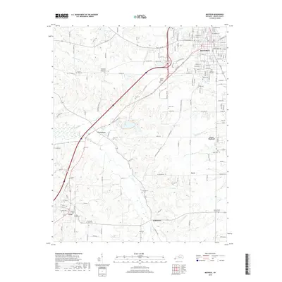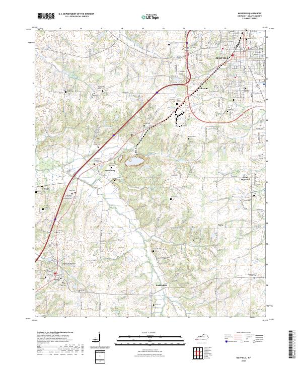
1952 Map of Mayfield
USGS Topo · Published 1957About this map
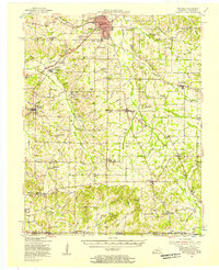
Mayfield serves as the focal point of this Graves County survey, showing a well-established agricultural and transportation hub during the early 1950s. The Illinois Central Railroad cuts diagonally through the landscape, linking settlements like Pryorsburg, Wingo, and Stubblefield. This rail corridor supported a diverse local economy, evidenced by the presence of a Clay Mine and several Gravel Pits scattered near Cuba. The map captures a high density of rural social infrastructure, including the County Farm and the Kentucky Agricultural Experimental Station west of the city center.
Find a feature on this map
112 named features on this map. Tap any name to fly to it.
Don’t see what you’re looking for? This feature index may not catch every label — zoom into the map to look around manually.
Map Details
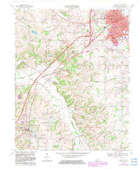
Editions of this 1952 Mayfield Map
This is the sole edition of this map. No revisions or reprints were ever made.
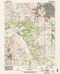
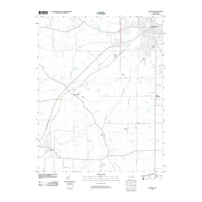
Historical Maps of Mayfield Through Time
9 maps found