1994 Map of Mayfield
USGS Topo · Published 1996About this map
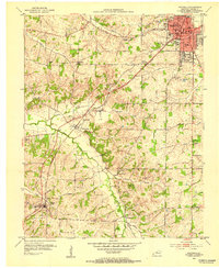
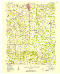
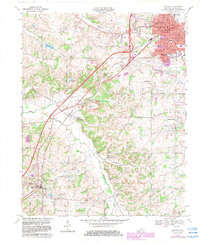
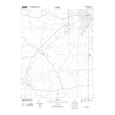
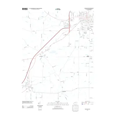
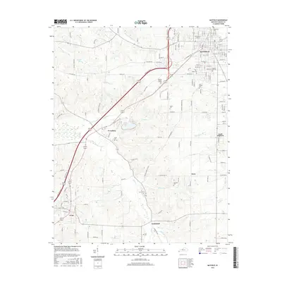
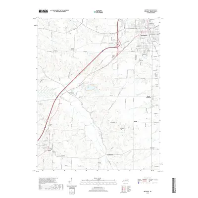
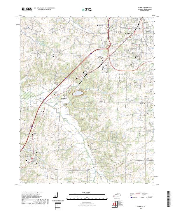
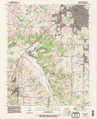
Mayfield serves as the focal point of this Graves County survey, showing a landscape defined by traditional industry and modern transportation networks. The Illinois Central Railroad cuts a north-south path through the region, connecting the county seat with outlying settlements like Pryorsburg and Stubblefield. Industrial activity is evident in the numerous claypits and gravel pits scattered across the terrain, while the local water management is highlighted by features such as the Woolen Mill Ditch and West Fork Mayfield Creek.
Find a feature on this map
71 named features on this map. Tap any name to fly to it.
Don’t see what you’re looking for? This feature index may not catch every label — zoom into the map to look around manually.
Map Details
Editions of this 1994 Mayfield Map
This is the sole edition of this map. No revisions or reprints were ever made.
Historical Maps of Mayfield Through Time
9 maps found