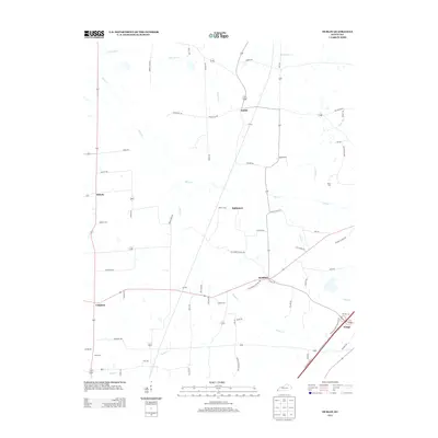
2013 Map of Dublin
USGS Topo · Published 2013About this map
The agricultural landscape of Graves County is defined by a dense network of rural routes and creek valleys, centered on small crossroads communities. Dublin and Baltimore serve as primary points of reference in this interior portion of Kentucky, where the drainage of Obion Cr and Little Joe Cr has historically dictated the placement of farms and homesteads. The map reveals the persistence of family-named landmarks and rural institutions, including Price Cem and Clark Cem, which offer significant value for genealogists tracing ancestral roots in the region.
Find a feature on this map
68 named features on this map. Tap any name to fly to it.
Don’t see what you’re looking for? This feature index may not catch every label — zoom into the map to look around manually.
Map Details
Editions of this 2013 Dublin Map
This is the sole edition of this map. No revisions or reprints were ever made.
Other maps of this area

1951 · Milburn
USGS Topo · 1:24,000

1951 · Hickory
USGS Topo · 1:24,000

1951 · Hickory
USGS Topo · 1:62,500

1952 · Clinton
USGS Topo · 1:24,000

1952 · Mayfield
USGS Topo · 1:24,000

1952 · Dublin
USGS Topo · 1:24,000

1952 · Crutchfield
USGS Topo · 1:24,000

1952 · Cuba
USGS Topo · 1:24,000

1952 · Fancy Farm
USGS Topo · 1:24,000

1952 · Water Valley
USGS Topo · 1:24,000