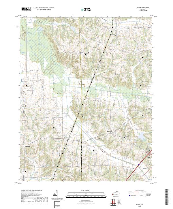
2022 Map of Dublin
USGS Topo · Published 2022About this map
The boundary between Hickman and Graves County runs through this landscape of western Kentucky, where the headwaters of Obion Creek and its many tributaries, including Brush Creek and Cypress Creek, define the local topography. This 2022 survey captures a rural environment deeply rooted in family history, evidenced by an exceptional density of small burying grounds. Settlements like Dublin, Baltimore, and Holifield serve as community anchors, while landmarks such as Murphy Pond represent the area's natural wetlands. The map is a vital resource for genealogists, as it documents numerous specific sites such as Unity Baptist Cemetery, Old Baltimore Cemetery, and the Lain-Scholes Cemetery. The intricate road network, featuring routes like Hollifield Cemetery Road and Baltimore Church Road, connects these scattered homesteads and historical sites within the undulating terrain.
Find a feature on this map
76 named features on this map. Tap any name to fly to it.
Don’t see what you’re looking for? This feature index may not catch every label — zoom into the map to look around manually.
Map Details
Editions of this 2022 Dublin Map
This is the sole edition of this map. No revisions or reprints were ever made.
Other maps of this area

1951 · Milburn
USGS Topo · 1:24,000

1951 · Hickory
USGS Topo · 1:24,000

1951 · Hickory
USGS Topo · 1:62,500

1952 · Clinton
USGS Topo · 1:24,000

1952 · Mayfield
USGS Topo · 1:24,000

1952 · Dublin
USGS Topo · 1:24,000

1952 · Crutchfield
USGS Topo · 1:24,000

1952 · Cuba
USGS Topo · 1:24,000

1952 · Fancy Farm
USGS Topo · 1:24,000

1952 · Water Valley
USGS Topo · 1:24,000