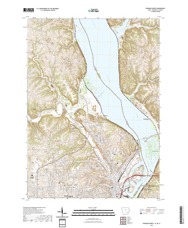
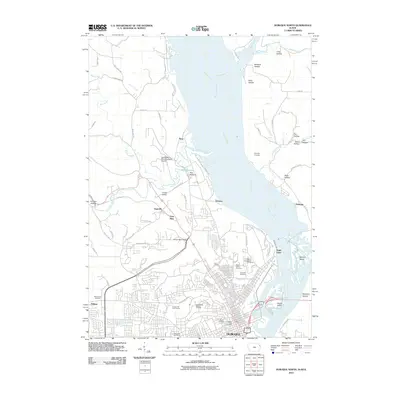
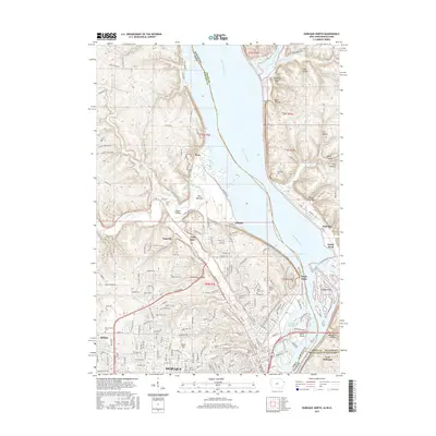
2022 Map of Dubuque North
USGS Topo · Published 2022About this map
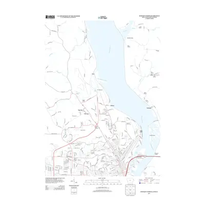
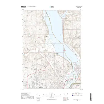
The Mississippi River acts as a sprawling natural divider between Iowa, Wisconsin, and Illinois in this detailed 2022 survey. The landscape is defined by the steep bluffs and hollows characteristic of the Driftless Area, including Plum Hollow, Bobs Hollow, and the Peru Bottoms along the western riverbank. The city of Dubuque serves as a dense urban anchor at the southern edge, where educational and civic landmarks like Clarke University, Loras College, and the Dubuque County Courthouse sit overlooking the Lake Peosta Channel.
Find a feature on this map
107 named features on this map. Tap any name to fly to it.
Don’t see what you’re looking for? This feature index may not catch every label — zoom into the map to look around manually.
Map Details
Editions of this 2022 Dubuque North Map
This is the sole edition of this map. No revisions or reprints were ever made.
Historical Maps of Dubuque Through Time
24 maps found
1955 Dubuque South
Dubuque County, IA
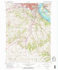
1956 Dubuque North
Dubuque County, IA
1965 Dyersville East
Dubuque County, IA
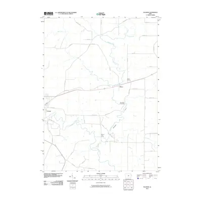
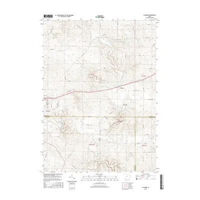
1966 Fillmore
Dubuque County, IA
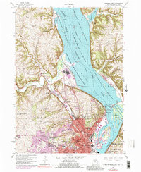
2010 Dubuque North
Dubuque County, IA
2010 Dubuque South
Dubuque County, IA
2010 Dyersville East
Dubuque County, IA
2010 Fillmore
Dubuque County, IA
2013 Dubuque North
Dubuque County, IA
2013 Dubuque South
Dubuque County, IA
2013 Dyersville East
Dubuque County, IA
2013 Fillmore
Dubuque County, IA
2015 Dubuque North
Dubuque County, IA
2015 Dubuque South
Dubuque County, IA
2015 Dyersville East
Dubuque County, IA
2015 Fillmore
Dubuque County, IA
2018 Dubuque North
Dubuque County, IA
2018 Dubuque South
Dubuque County, IA
2018 Dyersville East
Dubuque County, IA
2018 Fillmore
Dubuque County, IA
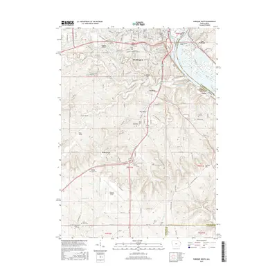
2022 Dubuque North
Dubuque County, IA
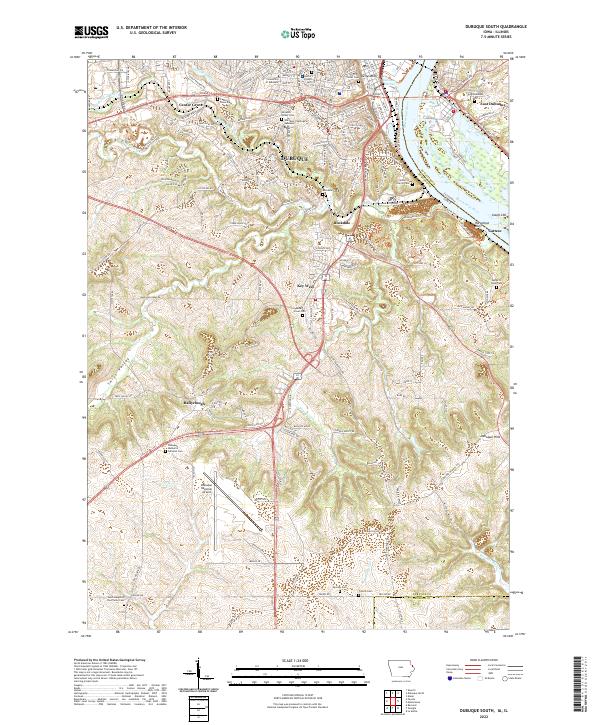
2022 Dubuque South
Dubuque County, IA
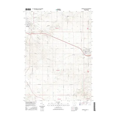
2022 Dyersville East
Dubuque County, IA
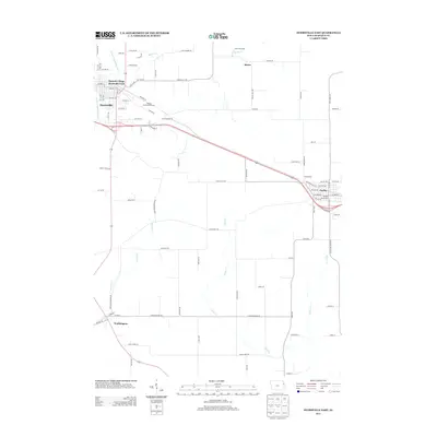
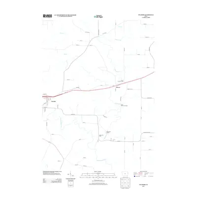
2022 Fillmore
Dubuque County, IA