
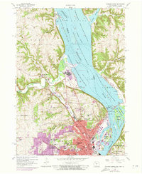
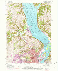
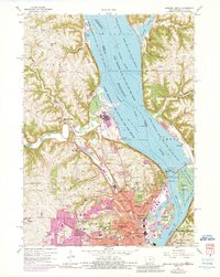
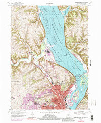
1956 Map of Dubuque North
USGS Topo · Published 1958About this map
Dubuque serves as the focal point of this mid-century survey, showcasing a dense network of Catholic educational and religious institutions including Loras College, Clarke College, and St Francis Convent. The city's industrial and transport infrastructure is deeply tied to the Mississippi River, evidenced by the Lock and Dam No 11 and the Eagle Point Bridge (Toll). A complex rail network featuring the Chicago Milwaukee St Paul and Pacific and the Chicago Great Western snakes through the Couler Valley and along the riverfront, highlighting the area's role as a tri-state transit hub.
Find a feature on this map
83 named features on this map. Tap any name to fly to it.
Don’t see what you’re looking for? This feature index may not catch every label — zoom into the map to look around manually.
Map Details
Editions of this 1956 Dubuque North Map
5 editions found
Other maps of this area

1900 · Lancaster
USGS Topo · 1:125,000

1901 · Peosta
USGS Topo · 1:125,000

1904 · Lancaster
USGS Topo · 1:125,000

1908 · Lancaster
USGS Topo · 1:125,000

1935 · East Dubuque
USGS Topo · 1:62,500

1940 · East Dubuque
USGS Topo · 1:62,500

1955 · Menominee
USGS Topo · 1:24,000

1955 · Dubuque South
USGS Topo · 1:24,000

1955 · Balltown
USGS Topo · 1:24,000

1956 · Sherrill
USGS Topo · 1:24,000