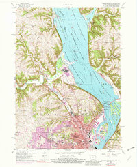
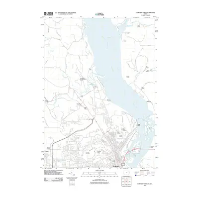
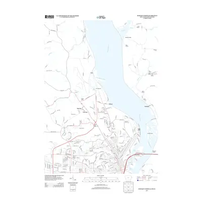
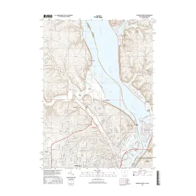
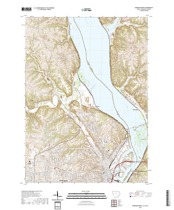
1956 Map of Dubuque North
USGS Topo · Published 1982About this map
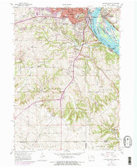
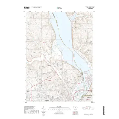
The Mississippi River corridor dominates this survey, where the tri-state boundaries of Iowa, Wisconsin, and Illinois converge. In the mid-1950s, the industrial and educational heart of Dubuque is visible through its dense concentration of institutions, including Loras College, Clarke College, and Mount St Bernard Seminary. The river's commercial utility is marked by the complex of Lock and Dam No 11 and the Eagle Point Bridge, while the vast Upper Mississippi River Wild Life and Fish Refuge preserves the ecological character of the Peru Bottoms. Moving inland, the landscape shifts from the urban grid to the narrow drainages of Couler Valley and Union Park Hollow. Rural life is anchored by numerous neighborhood landmarks such as West Sageville Sch and the Derby Grange Sch, alongside spiritual centers like the St Francis Convent and Holy Ghost Sch.
Find a feature on this map
84 named features on this map. Tap any name to fly to it.
Don’t see what you’re looking for? This feature index may not catch every label — zoom into the map to look around manually.
Map Details
Editions of this 1956 Dubuque North Map
5 editions found
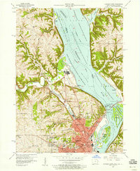
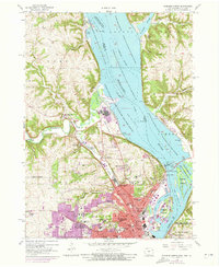
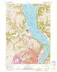
Historical Maps of Dubuque Through Time
24 maps found
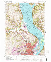
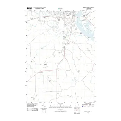
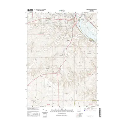
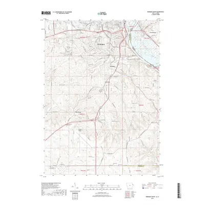
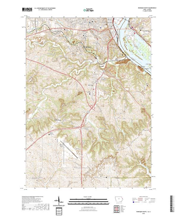
1955 Dubuque South
Dubuque County, IA
1956 Dubuque North
Dubuque County, IA
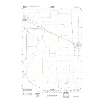
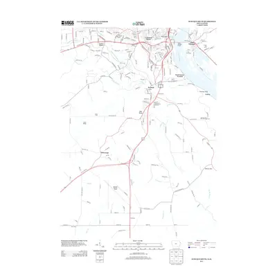
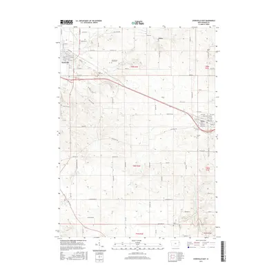
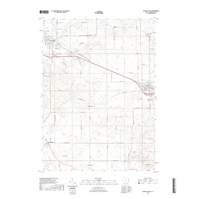
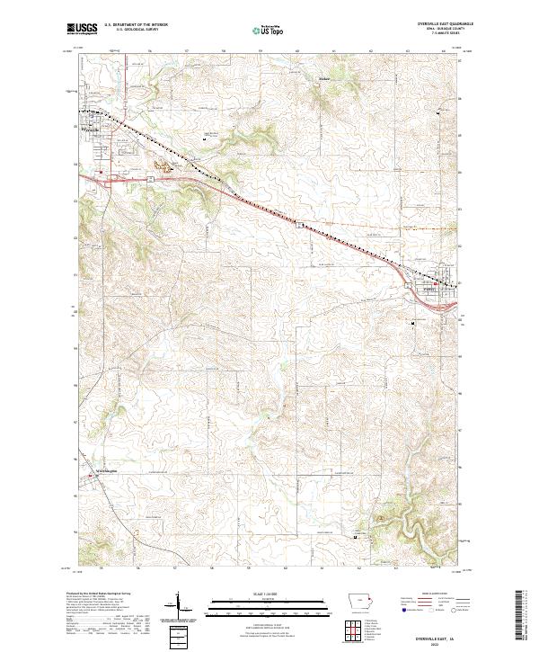
1965 Dyersville East
Dubuque County, IA
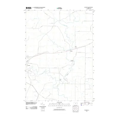
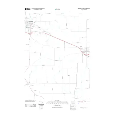
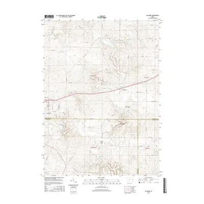
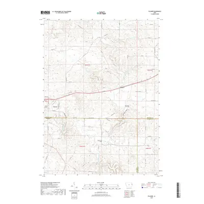
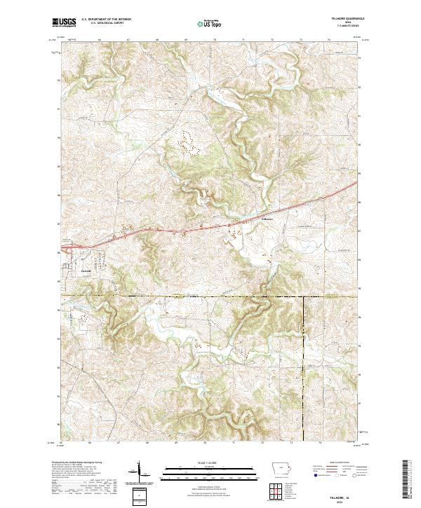
1966 Fillmore
Dubuque County, IA
2010 Dubuque North
Dubuque County, IA
2010 Dubuque South
Dubuque County, IA
2010 Dyersville East
Dubuque County, IA
2010 Fillmore
Dubuque County, IA
2013 Dubuque North
Dubuque County, IA
2013 Dubuque South
Dubuque County, IA
2013 Dyersville East
Dubuque County, IA
2013 Fillmore
Dubuque County, IA
2015 Dubuque North
Dubuque County, IA
2015 Dubuque South
Dubuque County, IA
2015 Dyersville East
Dubuque County, IA
2015 Fillmore
Dubuque County, IA
2018 Dubuque North
Dubuque County, IA
2018 Dubuque South
Dubuque County, IA
2018 Dyersville East
Dubuque County, IA
2018 Fillmore
Dubuque County, IA
2022 Dubuque North
Dubuque County, IA
2022 Dubuque South
Dubuque County, IA
2022 Dyersville East
Dubuque County, IA
2022 Fillmore
Dubuque County, IA