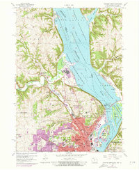
1956 Map of Dubuque North
USGS Topo · Published 1973About this map
The tri-state junction of Iowa, Wisconsin, and Illinois is defined by the massive braided channel of the Mississippi River and the sprawling Upper Mississippi River Wildlife and Fish Refuge. This 1950s record shows Dubuque as a dense educational and religious hub, anchoring the region with institutions like Loras College, Clarke College, and the Mount St Bernard Seminary. The industrial and transport character of the era is evident in the rail lines of the Chicago Milwaukee St Paul and Pacific and the Chicago Great Western skirting the riverbanks, while the Eagle Point Bridge (Toll) provides a critical connection toward Wisconsin. Beyond the city center, the landscape transitions into the steep hollows and bluffs of the Driftless Area, where smaller communities like Sageville and Asbury sit among scattered country schools such as Derby Grange Sch and West Stone Hill Sch. This survey also documents medical and social landmarks of the period, including the Sunny Crest Sanatorium and Linwood Cemetery.
Find a feature on this map
90 named features on this map. Tap any name to fly to it.
Don’t see what you’re looking for? This feature index may not catch every label — zoom into the map to look around manually.
Map Details
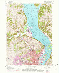
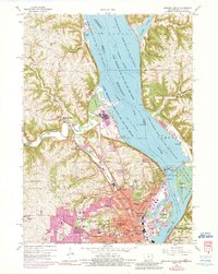
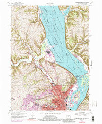
Editions of this 1956 Dubuque North Map
5 editions found
Other maps of this area

1900 · Lancaster
USGS Topo · 1:125,000

1901 · Peosta
USGS Topo · 1:125,000

1904 · Lancaster
USGS Topo · 1:125,000

1908 · Lancaster
USGS Topo · 1:125,000

1935 · East Dubuque
USGS Topo · 1:62,500

1940 · East Dubuque
USGS Topo · 1:62,500

1955 · Menominee
USGS Topo · 1:24,000

1955 · Dubuque South
USGS Topo · 1:24,000

1955 · Balltown
USGS Topo · 1:24,000

1956 · Dubuque North
USGS Topo · 1:24,000