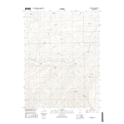
2017 Map of Duchesne SE
USGS Topo · Published 2017About this map
Sowers Canyon and Antelope Canyon dominate this Duchesne County landscape, where the high desert is deeply incised by a network of drainage systems. The terrain is structured around the prominent Cottonwood Ridge, which separates the northern canyon complexes from the southern forks. While the land remains largely undeveloped, a modern network of residential and access roads has emerged, including Red Tail Ridge Rd and Edyth Marett Dr, indicating a transition from traditional rangeland toward more contemporary land use patterns. The topographic detail reveals the intricate seasonal hydrology of the region, tracing the paths of Sowers Cr and Antelope Cr as they navigate the basin. Smaller features like Brundage Canyon and Nutters Canyon branch off the main corridors, showcasing the complex erosional history of the area.
Find a feature on this map
25 named features on this map. Tap any name to fly to it.
Don’t see what you’re looking for? This feature index may not catch every label — zoom into the map to look around manually.
Map Details
Editions of this 2017 Duchesne SE Map
This is the sole edition of this map. No revisions or reprints were ever made.
Other maps of this area

1885 · Uinta
USGS Topo · 1:250,000

1886 · Price River
USGS Topo · 1:250,000

1896 · Price River
USGS Topo · 1:250,000

1939 · Duchesne
USGS Topo · 1:125,000

1954 · Salt Lake City
USGS Topo · 1:250,000

1956 · Price
USGS Topo · 1:250,000

1958 · Salt Lake City
USGS Topo · 1:250,000

1960 · Salt Lake City
USGS Topo · 1:250,000

1960 · Price
USGS Topo · 1:250,000

1962 · Price
USGS Topo · 1:250,000