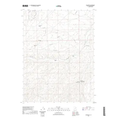
2020 Map of Duchesne SE
USGS Topo · Published 2020About this map
Cottonwood Ridge dominates the central landscape of this Duchesne County region, serving as a high-ground divider between complex drainage systems. To the north, deep incisions like Coyote Canyon and Cottonwood Canyon shape the terrain, while the southern half is defined by the branching reaches of Sowers Canyon and the Left Fork and Right Fork Antelope Canyon. This 2020 survey illustrates a remote landscape primarily accessed via rugged corridors such as Cottonwood Ridge Rd and Sowers Canyon Rd. The drainage patterns of Sowers Cr and Antelope Cr reveal how water has carved the plateaus over millennia, dictating the placement of modern infrastructure like High Mesa Loop and Copper Spur Rd along the more accessible benches and ridges.
Find a feature on this map
24 named features on this map. Tap any name to fly to it.
Don’t see what you’re looking for? This feature index may not catch every label — zoom into the map to look around manually.
Map Details
Editions of this 2020 Duchesne SE Map
This is the sole edition of this map. No revisions or reprints were ever made.
Other maps of this area

1885 · Uinta
USGS Topo · 1:250,000

1886 · Price River
USGS Topo · 1:250,000

1896 · Price River
USGS Topo · 1:250,000

1939 · Duchesne
USGS Topo · 1:125,000

1954 · Salt Lake City
USGS Topo · 1:250,000

1956 · Price
USGS Topo · 1:250,000

1958 · Salt Lake City
USGS Topo · 1:250,000

1960 · Salt Lake City
USGS Topo · 1:250,000

1960 · Price
USGS Topo · 1:250,000

1962 · Price
USGS Topo · 1:250,000