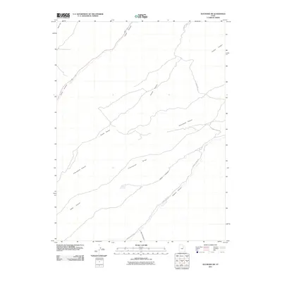
2011 Map of Duchesne SW
USGS Topo · Published 2011About this map
Indian Canyon and Cottonwood Ridge dominate this rugged sector of Duchesne County, where high plateaus are deeply incised by a network of drainage corridors. This 2011 survey traces the intricate geography of the Western Uinta Basin, highlighting the vital water sources such as Marshall Springs that sustain life in this arid landscape. The map illustrates a complex topographical pattern where Coyote Canyon, Tabby Canyon, and Sowers Canyon converge, creating a natural labyrinth of ridges and washes. Transportation follows these contours, with Cottonwood Ridge Rd and Sowers Canyon Rd providing access across the high ground and through the canyon floors. Researchers can trace the path of Sowers Creek and identify landmarks like Weeint Hol and Wire Fence Can, which reflect the area's grazing and ranching history.
Find a feature on this map
12 named features on this map. Tap any name to fly to it.
Don’t see what you’re looking for? This feature index may not catch every label — zoom into the map to look around manually.
Map Details
Editions of this 2011 Duchesne SW Map
This is the sole edition of this map. No revisions or reprints were ever made.
Other maps of this area

1885 · Uinta
USGS Topo · 1:250,000

1886 · Price River
USGS Topo · 1:250,000

1896 · Price River
USGS Topo · 1:250,000

1939 · Duchesne
USGS Topo · 1:125,000

1954 · Salt Lake City
USGS Topo · 1:250,000

1956 · Price
USGS Topo · 1:250,000

1958 · Salt Lake City
USGS Topo · 1:250,000

1960 · Salt Lake City
USGS Topo · 1:250,000

1960 · Price
USGS Topo · 1:250,000

1962 · Price
USGS Topo · 1:250,000