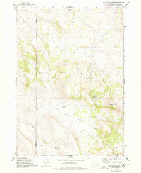
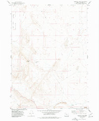
1977 Map of Duck Creek Butte
USGS Topo · Published 1978About this map
Post Mountain and the high plateaus of the Harney and Malheur County line define this high-desert landscape in the late 1970s. The map reveals a remote pastoral and ranching environment where water sources are the primary landmarks, such as Brokendown Waterhole and High Butte Reservoir. Topographically, the area is dominated by the volcanic forms of the Indian Creek Buttes and the prominent Duck Creek Butte, which rises above the expansive Flat to the south. A sparse network of Jeep Trails provides the only access across these basins, connecting scattered vital points like Indian Creek Spring and Antelope Spring. This survey captures the region just as photogrammetric methods were refining the detail of these arid drainages, including the headwaters of Dick Cr and the winding course of Big Gulch.
Find a feature on this map
16 named features on this map. Tap any name to fly to it.
Don’t see what you’re looking for? This feature index may not catch every label — zoom into the map to look around manually.
Map Details
Editions of this 1977 Duck Creek Butte Map
This is the sole edition of this map. No revisions or reprints were ever made.
Other maps of this area

1955 · Burns
USGS Topo · 1:250,000

1958 · Burns
USGS Topo · 1:250,000

1959 · Burns
USGS Topo · 1:250,000

1968 · Venator
USGS Topo · 1:62,500
1972 · Stockade Mtn
USGS Topo · 1:62,500
1972 · Venator Reservoir
USGS Topo · 1:24,000

1972 · Venator
USGS Topo · 1:24,000
1972 · Stockade Mtn
USGS Topo · 1:24,000

1974 · Anderson Mtn
USGS Topo · 1:62,500
1974 · Turnbull Peak
USGS Topo · 1:24,000