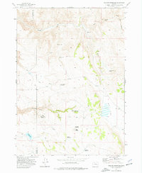
1972 Map of Venator Reservoir
USGS Topo · Published 1976About this map
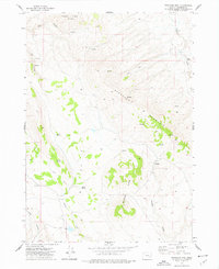
The High Desert landscape along the Harney and Malheur County line centers on a sophisticated network of water management features essential for ranching in the early 1970s. The Swamp Creek Ranch serves as a primary human outpost in a terrain defined by intermittent drainage and volcanic landforms like Hat Butte. Water security for livestock is evident through numerous named sources such as Robinson Spring, Dipping Vat Spring, and the Jake Hughes Reservoir. The presence of several developed waterholes, including Newts Waterhole and Head of the Creek Waterhole, indicates the carefully managed grazing cycles of the era. To the south, the Venator Res and the expansive Big Flat dominate the lower elevations, while the north is carved by the dramatic Box Canyon. A network of Jeep Trails provides the primary means of traversal through this remote rangeland.
Find a feature on this map
20 named features on this map. Tap any name to fly to it.
Don’t see what you’re looking for? This feature index may not catch every label — zoom into the map to look around manually.
Map Details
Editions of this 1972 Venator Reservoir Map
This is the sole edition of this map. No revisions or reprints were ever made.
Other maps of this area

1955 · Burns
USGS Topo · 1:250,000

1958 · Burns
USGS Topo · 1:250,000

1959 · Burns
USGS Topo · 1:250,000

1968 · Venator
USGS Topo · 1:62,500
1972 · Mc Ewen Butte
USGS Topo · 1:24,000
1972 · Stockade Mtn
USGS Topo · 1:62,500
1972 · Hickey Basin
USGS Topo · 1:24,000

1972 · Venator
USGS Topo · 1:24,000
1972 · Stockade Mtn
USGS Topo · 1:24,000
1972 · Dunnean
USGS Topo · 1:24,000