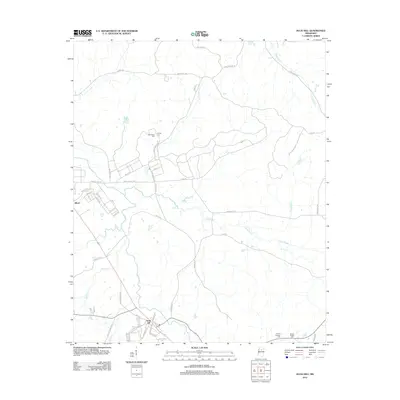
2024 Map of Duck Hill
USGS Topo · Published 2024About this map
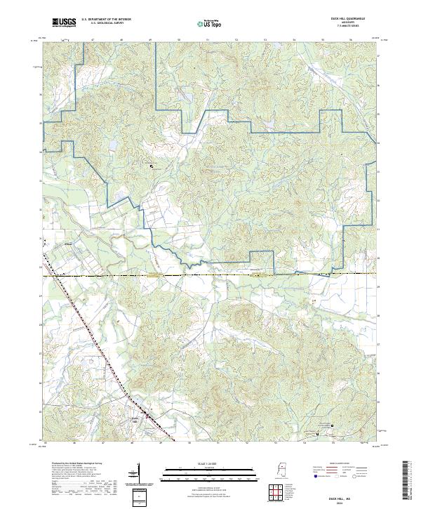
Duck Hill anchors the southern portion of this landscape at the boundary of Grenada Co and Montgomery Co, where the local road network converges near Jackson Creek. The terrain is defined by a dense system of waterways, including the winding Batupan Bogue, Big Bogue, and Little Bogue, which carve through the central woodlands. To the north, the presence of NG CTA Camp McCain occupies a significant portion of the interior, situated near historic burial grounds such as Bethlehem Cem and Purnell Cem.
Find a feature on this map
50 named features on this map. Tap any name to fly to it.
Don’t see what you’re looking for? This feature index may not catch every label — zoom into the map to look around manually.
Map Details
Editions of this 2024 Duck Hill Map
This is the sole edition of this map. No revisions or reprints were ever made.
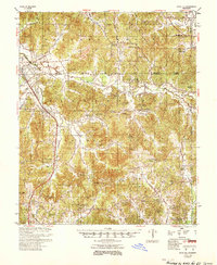
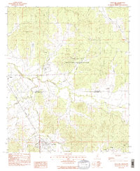
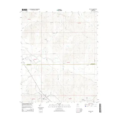
Historical Maps of Duck Hill Through Time
7 maps found