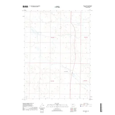
2017 Map of Duck Lake NE
USGS Topo · Published 2017About this map
Calf Creek Valley serves as the primary topographic feature of this section of Cherry County, cutting a distinct path through the western Nebraska landscape. This area is defined by the winding course of Calf Cr, which meanders across the township boundaries of t26n r28w and t25n r28w. The geographic isolation of the region is evident in the sparse infrastructure, with the corridor of Route 83 providing the sole major north-south transit link through these sandhills. The map reflects a landscape where water and terrain dictate the layout of the land, showing how the valley floor and its small creek provide a focal point for the surrounding high country. It is a detailed representation of the Nebraska interior during the early 21st century, focusing on the natural drainages and the expansive public land survey system grid that organizes this rural territory.
Find a feature on this map
7 named features on this map. Tap any name to fly to it.
Don’t see what you’re looking for? This feature index may not catch every label — zoom into the map to look around manually.
Map Details
Editions of this 2017 Duck Lake NE Map
This is the sole edition of this map. No revisions or reprints were ever made.
Other maps of this area

1948 · Seneca 4
USGS Topo · 1:62,500

1949 · Seneca 4
USGS Topo · 1:62,500

1949 · Purdum
USGS Topo · 1:62,500

1949 · Long Lake
USGS Topo · 1:62,500

1951 · Long Lake
USGS Topo · 1:62,500

1951 · Purdum
USGS Topo · 1:62,500

1951 · Brownlee
USGS Topo · 1:62,500

1957 · Valentine
USGS Topo · 1:250,000

1959 · Valentine
USGS Topo · 1:250,000

1985 · Goose Creek
USGS Topo · 1:100,000