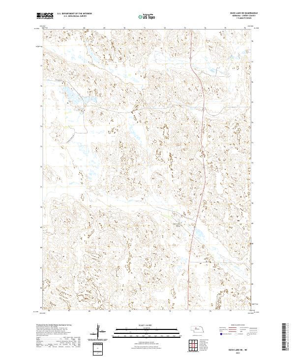
2021 Map of Duck Lake NE
USGS Topo · Published 2021About this map
The rolling Sandhills of Cherry County dominate this landscape, defined by the winding course of Calf Cr as it carves through the Calf Creek Valley. This is a sparsely populated section of Nebraska's rangeland, where the geography is organized primarily by large ranching operations and public land survey divisions. The map highlights local infrastructure necessary for managing this wide-open terrain, including private access ways such as Eatinger Ranch Dr and the rural artery of Eatinger Rd. These routes provide essential connectivity between the isolated homesteads and grazing lands typical of the High Plains, illustrating the enduring nature of the ranching economy in the early twenty-first century.
Find a feature on this map
8 named features on this map. Tap any name to fly to it.
Don’t see what you’re looking for? This feature index may not catch every label — zoom into the map to look around manually.
Map Details
Editions of this 2021 Duck Lake NE Map
This is the sole edition of this map. No revisions or reprints were ever made.
Other maps of this area

1948 · Seneca 4
USGS Topo · 1:62,500

1949 · Seneca 4
USGS Topo · 1:62,500

1949 · Purdum
USGS Topo · 1:62,500

1949 · Long Lake
USGS Topo · 1:62,500

1951 · Long Lake
USGS Topo · 1:62,500

1951 · Purdum
USGS Topo · 1:62,500

1951 · Brownlee
USGS Topo · 1:62,500

1957 · Valentine
USGS Topo · 1:250,000

1959 · Valentine
USGS Topo · 1:250,000

1985 · Goose Creek
USGS Topo · 1:100,000