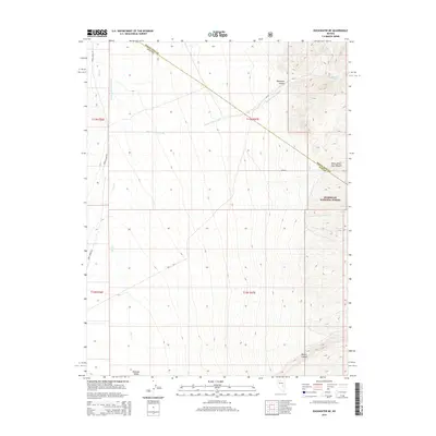
2014 Map of Duckwater NE
USGS Topo · Published 2014About this map
Railroad Valley and the surrounding desert peaks characterize this remote corner of Nye County along the boundary with White Pine County. The landscape is defined by its water sources, where Blackrock Spring, Sawmill Spring, and Vance Spring emerge from the steep eastern slopes within the Humboldt National Forest. These vital water points, connected by seasonal drainages like Black Canyon Wash and Bull Cr, were essential markers for early travel and range management in the Great Basin.
Find a feature on this map
19 named features on this map. Tap any name to fly to it.
Don’t see what you’re looking for? This feature index may not catch every label — zoom into the map to look around manually.
Map Details
Editions of this 2014 Duckwater NE Map
This is the sole edition of this map. No revisions or reprints were ever made.
Other maps of this area

1949 · Treasure Hill
USGS Topo · 1:62,500

1950 · Treasure Hill
USGS Topo · 1:62,500

1951 · Green Springs
USGS Topo · 1:62,500

1956 · Lund
USGS Topo · 1:250,000

1956 · Ely
USGS Topo · 1:250,000

1957 · Currant Mtn
USGS Topo · 1:62,500

1959 · Ely
USGS Topo · 1:250,000

1960 · Lund
USGS Topo · 1:250,000

1963 · Ely
USGS Topo · 1:250,000

1964 · Duckwater
USGS Topo · 1:62,500