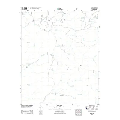
2012 Map of Dugas
USGS Topo · Published 2012About this map
Dugas and the T Anchor Ranch serve as primary anchors in this landscape of high mesas and deep canyons within Yavapai County. The settlement patterns shown here are defined by water management and livestock operations, as evidenced by an extensive network of tanks and springs such as Holdin Pasture Tank, Graveyard Spring, and Chalk Tank. Infrastructure for ranching is prominent, with various corrals like Boundary Corral and Long Gulch Corral situated near ephemeral water sources. The map also reveals the industrial history of the area through the Old Mine Windmill, located near Sycamore Cr. Geographic landmarks like Rice Peak, Granite Peak, and Tule Canyon provide significant relief, while the Indian Creek Pipeline Troughs near Indian Creek Ranch illustrate the engineering required to move water across this arid terrain. This map captures a specific moment in the rural development of central Arizona, where cattle ranching remains the dominant land use.
Find a feature on this map
67 named features on this map. Tap any name to fly to it.
Don’t see what you’re looking for? This feature index may not catch every label — zoom into the map to look around manually.
Map Details
Editions of this 2012 Dugas Map
This is the sole edition of this map. No revisions or reprints were ever made.
Other maps of this area

1887 · Verde
USGS Topo · 1:250,000

1887 · Prescott
USGS Topo · 1:250,000

1892 · Verde
USGS Topo · 1:250,000

1892 · Prescott
USGS Topo · 1:250,000

1903 · Bradshaw Mountains
USGS Topo · 1:125,000

1929 · Turret Peak
USGS Topo · 1:125,000

1933 · Turret Peak
USGS Topo · 1:125,000

1947 · Bumblebee
USGS Topo · 1:62,500

1947 · Mayer
USGS Topo · 1:62,500

1948 · Bumblebee
USGS Topo · 1:63,360