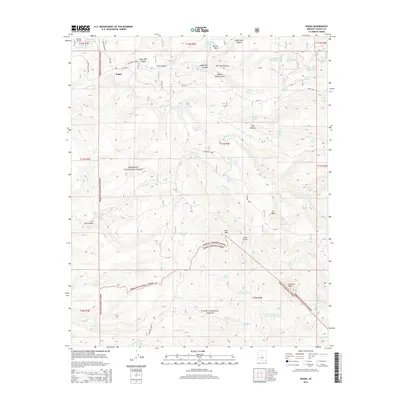
2014 Map of Dugas
USGS Topo · Published 2014About this map
Dugas sits at the northern edge of a landscape defined by the transition between the Prescott National Forest and Tonto National Forest. This central Arizona terrain is etched by a complex network of canyons and gulches, most notably Sycamore Cr and Indian Creek. The geography reveals a ranching and water management history through numerous named catchment features like Burmister Tank, Holdin Pasture Tank, and the Upper Dry Pasture Tank. High points such as Rice Peak and Granite Peak overlook a system of Forest Service and county roads, including Dugas Rd and Reimer Spring Rd. The map also identifies culturally significant sites like Graveyard Spring, providing a detailed record of the springs and wells that have sustained life and livestock across these mesa lands.
Find a feature on this map
79 named features on this map. Tap any name to fly to it.
Don’t see what you’re looking for? This feature index may not catch every label — zoom into the map to look around manually.
Map Details
Editions of this 2014 Dugas Map
This is the sole edition of this map. No revisions or reprints were ever made.
Other maps of this area

1887 · Verde
USGS Topo · 1:250,000

1887 · Prescott
USGS Topo · 1:250,000

1892 · Verde
USGS Topo · 1:250,000

1892 · Prescott
USGS Topo · 1:250,000

1903 · Bradshaw Mountains
USGS Topo · 1:125,000

1929 · Turret Peak
USGS Topo · 1:125,000

1933 · Turret Peak
USGS Topo · 1:125,000

1947 · Bumblebee
USGS Topo · 1:62,500

1947 · Mayer
USGS Topo · 1:62,500

1948 · Bumblebee
USGS Topo · 1:63,360