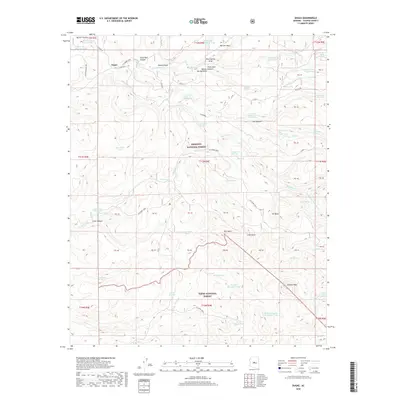
2018 Map of Dugas
USGS Topo · Published 2018About this map
Dugas is the primary settlement in this high-desert ranching and forest landscape, situated at the boundary of the Prescott National Forest and Tonto National Forest. The map detail reveals a sophisticated water management network essential for livestock and survival in Yavapai County, characterized by numerous named tanks and seeps. Notable water sources include Graveyard Spring, Highball Spring, and Tule Number Two Water. The drainage patterns are defined by deep cuts such as Tule Canyon and Reno Canyon, which feed into larger systems like Sycamore Cr. High elevation points like Rice Peak and Granite Peak overlook the diverse topography of Marlow Mesa and the winding course of Dugas Rd, documenting the rural infrastructure of the early 21st century.
Find a feature on this map
119 named features on this map. Tap any name to fly to it.
Don’t see what you’re looking for? This feature index may not catch every label — zoom into the map to look around manually.
Map Details
Editions of this 2018 Dugas Map
This is the sole edition of this map. No revisions or reprints were ever made.
Other maps of this area

1887 · Verde
USGS Topo · 1:250,000

1887 · Prescott
USGS Topo · 1:250,000

1892 · Verde
USGS Topo · 1:250,000

1892 · Prescott
USGS Topo · 1:250,000

1903 · Bradshaw Mountains
USGS Topo · 1:125,000

1929 · Turret Peak
USGS Topo · 1:125,000

1933 · Turret Peak
USGS Topo · 1:125,000

1947 · Bumblebee
USGS Topo · 1:62,500

1947 · Mayer
USGS Topo · 1:62,500

1948 · Bumblebee
USGS Topo · 1:63,360