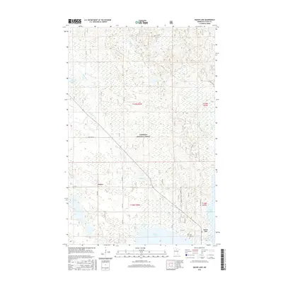
2016 Map of Dunbar Lake
USGS Topo · Published 2016About this map
Chippewa National Forest encompasses most of this Itasca County landscape, where the Popple River and Dunbar River wind through a dense network of wetlands and lakes. The settlement of Squaw Lake serves as a local hub near the southern edge of the quadrangle, situated just east of Round Lake. Evidence of local heritage and infrastructure is found at the North Round Lake Cem and the small community of Dunbar.
Find a feature on this map
29 named features on this map. Tap any name to fly to it.
Don’t see what you’re looking for? This feature index may not catch every label — zoom into the map to look around manually.
Map Details
Editions of this 2016 Dunbar Lake Map
This is the sole edition of this map. No revisions or reprints were ever made.
Other maps of this area

1919 · Rosy
USGS Topo · 1:62,500

1919 · Gemmell
USGS Topo · 1:62,500

1919 · Max
USGS Topo · 1:62,500

1919 · Bridgie
USGS Topo · 1:62,500

1924 · Bridgie
USGS Topo · 1:62,500

1954 · Bemidji
USGS Topo · 1:250,000

1957 · Bemidji
USGS Topo · 1:250,000

1958 · Bemidji
USGS Topo · 1:250,000

1971 · Squaw Lake
USGS Topo · 1:24,000

1971 · Dixon Lake
USGS Topo · 1:24,000