
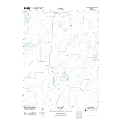
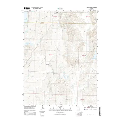
2021 Map of Duncans Bridge
USGS Topo · Published 2021About this map
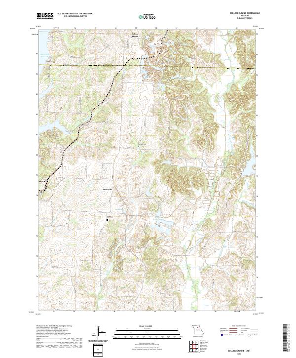
The Middle Fork Salt River meanders across the eastern portion of this northern Missouri landscape, creating a drainage network for several smaller tributaries such as Rich Land Cr and Mud Cr. Small rural settlements and historic place names are scattered throughout the region, including Woodville, Levick Mill, and Duncans Bridge. The area is characterized by its agricultural layout, defined by a grid of county roads like Co Rd 831 and State Hwy J that connect isolated farmsteads and local landmarks.
Find a feature on this map
86 named features on this map. Tap any name to fly to it.
Don’t see what you’re looking for? This feature index may not catch every label — zoom into the map to look around manually.
Map Details
Editions of this 2021 Duncans Bridge Map
This is the sole edition of this map. No revisions or reprints were ever made.
Historical Maps of Woodville Through Time
10 maps found
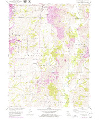
1953 College Mound
Randolph County, MO
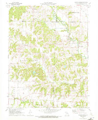
1971 Duncans Bridge
Randolph County, MO
2012 College Mound
Randolph County, MO
2012 Duncans Bridge
Randolph County, MO
2014 College Mound
Randolph County, MO
2014 Duncans Bridge
Randolph County, MO
2017 College Mound
Randolph County, MO
2017 Duncans Bridge
Randolph County, MO
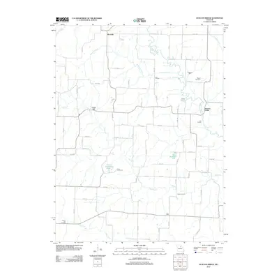
2021 College Mound
Randolph County, MO
2021 Duncans Bridge
Randolph County, MO