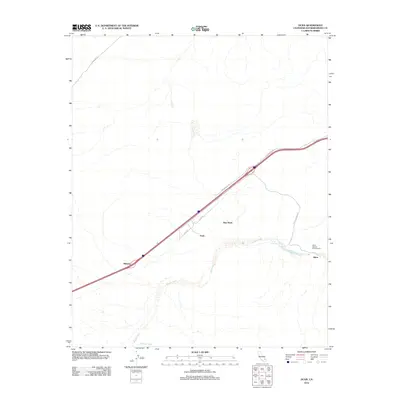
2012 Map of Dunn
USGS Topo · Published 2012About this map
The Mojave River carves a critical path through this high desert region of San Bernardino County, where transportation corridors have long dictated the pattern of settlement. Remote outposts and highway stops such as Midway, Dunn, and New Dunn align closely with the established route of the Arrowhead Trl, reflecting the area's reliance on through-traffic and desert infrastructure. To the east, the landscape shifts toward the dramatic relief of Afton Canyon Rd, leading toward Afton and the Afton Canyon Campground. Minor tracks and utility routes like Powerline Rd, Cady Rd, and Wilhelm Wash cross the arid terrain, illustrating the technical management of this environment. The map captures a moment in the modern desert where historic place-names persist alongside vital interstate connectivity.
Find a feature on this map
13 named features on this map. Tap any name to fly to it.
Don’t see what you’re looking for? This feature index may not catch every label — zoom into the map to look around manually.
Map Details
Editions of this 2012 Dunn Map
This is the sole edition of this map. No revisions or reprints were ever made.
Other maps of this area

1933 · Avawatz Mountains
USGS Topo · 1:250,000

1947 · Trona
USGS Topo · 1:250,000

1948 · Trona
USGS Topo · 1:250,000

1948 · Alvord Mountain
USGS Topo · 1:62,500

1948 · Cave Mountain
USGS Topo · 1:62,500

1951 · Cave Mountain
USGS Topo · 1:62,500

1951 · Alvord Mountain
USGS Topo · 1:62,500

1953 · San Bernardino
USGS Topo · 1:250,000

1953 · Trona
USGS Topo · 1:250,000

1955 · Newberry
USGS Topo · 1:62,500