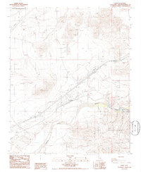
1986 Map of Dunn
USGS Topo · Published 1986About this map
The Mojave River cuts a distinctive path through this Mojave Desert landscape, marking the transition into the dramatic geography of Afton Canyon. This 1980s era survey highlights the vital transportation corridor where the Union Pacific Railroad and Interstate 15 parallel the river's course. Small outposts like Dunn and Afton serve as the primary human markers in a terrain dominated by the Cady Mountains.
Find a feature on this map
18 named features on this map. Tap any name to fly to it.
Don’t see what you’re looking for? This feature index may not catch every label — zoom into the map to look around manually.
Map Details
Editions of this 1986 Dunn Map
This is the sole edition of this map. No revisions or reprints were ever made.
Other maps of this area

1933 · Avawatz Mountains
USGS Topo · 1:250,000

1947 · Trona
USGS Topo · 1:250,000

1948 · Trona
USGS Topo · 1:250,000

1948 · Alvord Mountain
USGS Topo · 1:62,500

1948 · Cave Mountain
USGS Topo · 1:62,500

1951 · Cave Mountain
USGS Topo · 1:62,500

1951 · Alvord Mountain
USGS Topo · 1:62,500

1953 · San Bernardino
USGS Topo · 1:250,000

1953 · Trona
USGS Topo · 1:250,000

1955 · Newberry
USGS Topo · 1:62,500