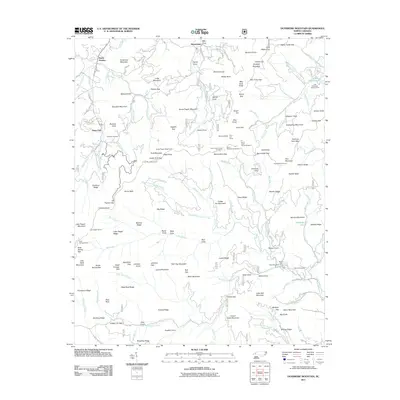
2011 Map of Dunsmore Mountain
USGS Topo · Published 2011About this map
South Hominy and the winding course of the Blue Ridge Parkway characterize this early 21st-century study of the high mountain gaps and ridges southwest of Asheville. The map reveals an intricate network of watershed protection and recreational land, centered around the North Mills River Recreation Area and the shores of Lake Powhatan. For the local historian, the inclusion of the O'Kelley Cemetery and Stuart Cemetery provides vital points of reference among the densely wooded terrain of Pisgah National Forest.
Find a feature on this map
147 named features on this map. Tap any name to fly to it.
Don’t see what you’re looking for? This feature index may not catch every label — zoom into the map to look around manually.
Map Details
Editions of this 2011 Dunsmore Mountain Map
This is the sole edition of this map. No revisions or reprints were ever made.
Other maps of this area

1894 · Asheville
USGS Topo · 1:125,000

1901 · Asheville
USGS Topo · 1:125,000

1905 · Pisgah
USGS Topo · 1:125,000

1906 · Pisgah
USGS Topo · 1:125,000

1935 · Cruso
USGS Topo · 1:24,000

1935 · Canton
USGS Topo · 1:24,000

1935 · Horse Shoe
USGS Topo · 1:24,000

1935 · Shining Rock
USGS Topo · 1:24,000

1935 · Pisgah Forest
USGS Topo · 1:24,000

1936 · Enka
USGS Topo · 1:24,000