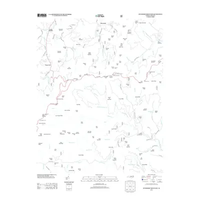
2013 Map of Dunsmore Mountain
USGS Topo · Published 2013About this map
Dunsmore Mountain and its surrounding peaks define a landscape heavily shaped by mid-century conservation and transportation engineering. The Blue Ridge Pkwy traverses the central terrain, utilizing complex infrastructure including the Pisgah Ridge Tunnel and the three numbered Ferrin Knob Tunnels to navigate the steep gaps. This modern roadway contrasts with the older settlement patterns found at South Hominy and Stony Fork, where roads like Davis Chapel Rd and Chestnut Creek Rd follow the natural drainage of S Hominy Cr.
Find a feature on this map
169 named features on this map. Tap any name to fly to it.
Don’t see what you’re looking for? This feature index may not catch every label — zoom into the map to look around manually.
Map Details
Editions of this 2013 Dunsmore Mountain Map
This is the sole edition of this map. No revisions or reprints were ever made.
Other maps of this area

1894 · Asheville
USGS Topo · 1:125,000

1901 · Asheville
USGS Topo · 1:125,000

1905 · Pisgah
USGS Topo · 1:125,000

1906 · Pisgah
USGS Topo · 1:125,000

1935 · Cruso
USGS Topo · 1:24,000

1935 · Canton
USGS Topo · 1:24,000

1935 · Horse Shoe
USGS Topo · 1:24,000

1935 · Shining Rock
USGS Topo · 1:24,000

1935 · Pisgah Forest
USGS Topo · 1:24,000

1936 · Enka
USGS Topo · 1:24,000