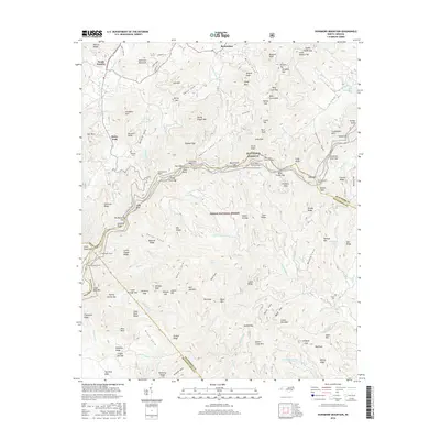
2016 Map of Dunsmore Mountain
USGS Topo · Published 2016About this map
Pisgah National Forest dominates this mountainous landscape where Buncombe, Henderson, and Transylvania counties converge. The high-elevation terrain is defined by the winding route of the Blue Ridge Parkway, which traverses the ridges through a series of engineering feats including the Ferrin Knob Tunnel Number 1, Beaverdam Tunnel, and Young Pisgah Ridge Tunnel. Small settlements like Beaverdam and South Hominy are situated in the lower valleys, while the higher elevations are marked by peaks such as Dunsmore Mountain and Young Pisgah Mtn. Genealogists may find interest in the isolated O'Kelley Cem and Stuart Cem, which remain as markers of early upland residency. The intricate drainage network, including Glady Fork and McKinney Cr, illustrates the complex watershed that flows from these Appalachian summits toward McElrath Lake.
Find a feature on this map
146 named features on this map. Tap any name to fly to it.
Don’t see what you’re looking for? This feature index may not catch every label — zoom into the map to look around manually.
Map Details
Editions of this 2016 Dunsmore Mountain Map
This is the sole edition of this map. No revisions or reprints were ever made.
Other maps of this area

1894 · Asheville
USGS Topo · 1:125,000

1901 · Asheville
USGS Topo · 1:125,000

1905 · Pisgah
USGS Topo · 1:125,000

1906 · Pisgah
USGS Topo · 1:125,000

1935 · Cruso
USGS Topo · 1:24,000

1935 · Canton
USGS Topo · 1:24,000

1935 · Horse Shoe
USGS Topo · 1:24,000

1935 · Shining Rock
USGS Topo · 1:24,000

1935 · Pisgah Forest
USGS Topo · 1:24,000

1936 · Enka
USGS Topo · 1:24,000