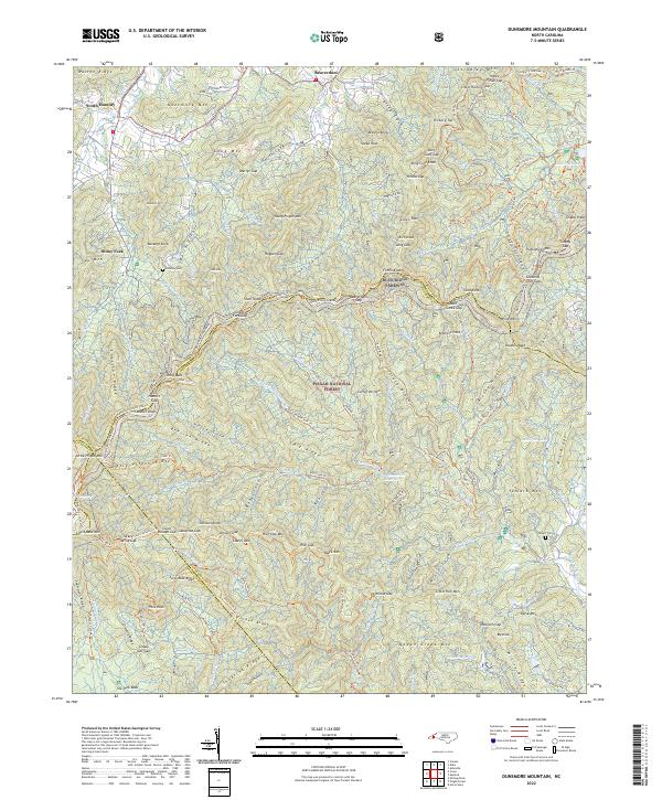
2022 Map of Dunsmore Mountain
USGS Topo · Published 2022About this map
Pisgah National Forest dominates this landscape, where the high ridges of the Blue Ridge Mountains converge at the borders of Buncombe, Henderson, Transylvania, and Haywood counties. The Blue Ridge Parkway winds along the central spine of the map, passing through Beaverdam Gap and near the Mountains to Sea Trl. This modern survey illustrates a terrain deeply managed for both recreation and utility, featuring the Hendersonville Reservoir and Lake Powhatan alongside a dense network of named hiking routes like the Shut-In Trl and Trace Ridge Trl. Small settlements and family landmarks persist on the fringes, including South Hominy and Beaverdam, while the O'Kelley Cem and Stuart Cem provide critical points of interest for genealogical research. The map captures the complex drainage patterns of the North Fork Mills River and Hominy Cr, which have shaped the settlement patterns of these mountain coves for generations.
Find a feature on this map
170 named features on this map. Tap any name to fly to it.
Don’t see what you’re looking for? This feature index may not catch every label — zoom into the map to look around manually.
Map Details
Editions of this 2022 Dunsmore Mountain Map
This is the sole edition of this map. No revisions or reprints were ever made.
Other maps of this area

1894 · Asheville
USGS Topo · 1:125,000

1901 · Asheville
USGS Topo · 1:125,000

1905 · Pisgah
USGS Topo · 1:125,000

1906 · Pisgah
USGS Topo · 1:125,000

1935 · Cruso
USGS Topo · 1:24,000

1935 · Canton
USGS Topo · 1:24,000

1935 · Horse Shoe
USGS Topo · 1:24,000

1935 · Shining Rock
USGS Topo · 1:24,000

1935 · Pisgah Forest
USGS Topo · 1:24,000

1936 · Enka
USGS Topo · 1:24,000