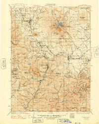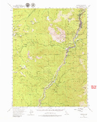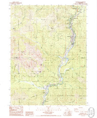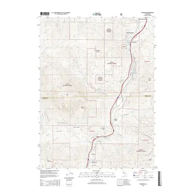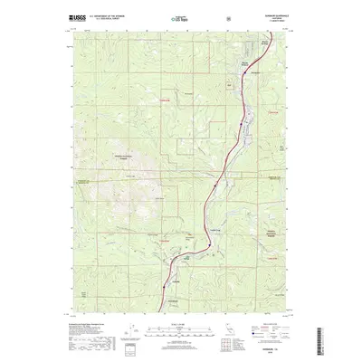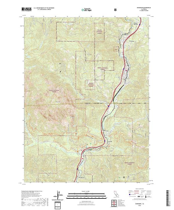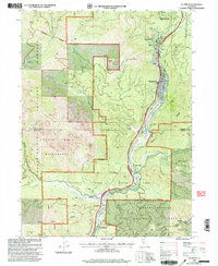
1998 Map of Dunsmuir
USGS Topo · Published 2003About this map
The Sacramento River carves through this northern California landscape, serving as the primary corridor for the Southern Pacific railroad and a string of historic canyon settlements. By the late 20th century, the town of Dunsmuir remains the central hub, supported by smaller locales like Shasta Retreat, Shasta Springs, and Castella. The geography is defined by the massive granite spires of Castle Crags to the west, protected within the Castle Crags State Park and the surrounding Castle Crags Wilderness.
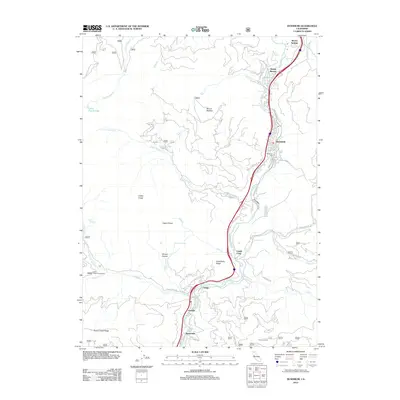
Find a feature on this map
46 named features on this map. Tap any name to fly to it.
Don’t see what you’re looking for? This feature index may not catch every label — zoom into the map to look around manually.
Map Details
Editions of this 1998 Dunsmuir Map
This is the sole edition of this map. No revisions or reprints were ever made.
Historical Maps of Dunsmuir Through Time
8 maps found