
1954 Map of Dunsmuir
USGS Topo · Published 1957About this map
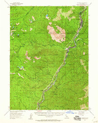
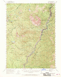
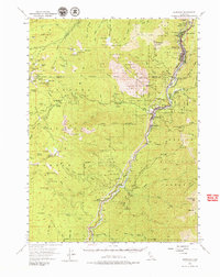
The South Fork Sacramento River carves a deep corridor through this mid-century survey, defining the industrial and recreational life of the region. The Southern Pacific RR and the Pacific Highway run parallel along the canyon floor, connecting a series of rail-side settlements including Dunsmuir, Castella, and Sweetbriar. This transportation spine supported both local industry and the early tourism of the Shasta National Forest, evidenced by the clusters of activity at Shasta Springs and Shasta Retreat.
Find a feature on this map
86 named features on this map. Tap any name to fly to it.
Don’t see what you’re looking for? This feature index may not catch every label — zoom into the map to look around manually.
Map Details
Editions of this 1954 Dunsmuir Map
4 editions found
Other maps of this area

1886 · Shasta
USGS Topo · 1:250,000

1890 · Red Bluff
USGS Topo · 1:250,000

1894 · Red Bluff
USGS Topo · 1:250,000

1894 · Shasta
USGS Topo · 1:250,000

1901 · Redding
USGS Topo · 1:125,000

1913 · Weaverville
USGS Topo · 1:125,000

1923 · Sawyers Bar
USGS Topo · 1:125,000

1931 · Etna
USGS Topo · 1:96,000

1934 · Etna
USGS Topo · 1:125,000

1935 · Dunsmuir
USGS Topo · 1:125,000