
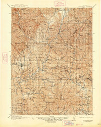
1913 Map of Weaverville
USGS Topo · Published 1913About this map
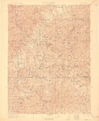
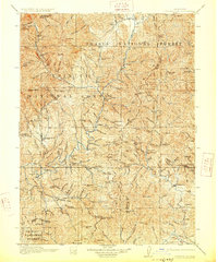
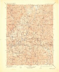
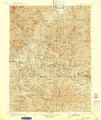
Gold mining operations and cattle ranches define the early twentieth-century landscape of this rugged portion of Northern California. The Trinity River and Clear Creek serve as the primary drainage systems for a territory dominated by the Shasta National Forest and Trinity National Forest. Prominent hydraulic and hard-rock operations like the La Grange Mine and Globe Mine are situated near established settlements such as Weaverville and Lewiston. Smaller family holdings, including Adams Ranch and Dinkles Ranch, appear alongside remote outposts like Minersville P O. The topography is punctuated by high peaks such as Bully Choop Mtn and Shasta Bally, reflecting a period when pack trails and wagon roads were the essential lifelines for isolated mountain communities and industrial claims like the Bully Choop Mine.
Find a feature on this map
177 named features on this map. Tap any name to fly to it.
Don’t see what you’re looking for? This feature index may not catch every label — zoom into the map to look around manually.
Map Details
Editions of this 1913 Weaverville Map
6 editions found
Other maps of this area

1886 · Shasta
USGS Topo · 1:250,000

1890 · Red Bluff
USGS Topo · 1:250,000

1894 · Red Bluff
USGS Topo · 1:250,000

1894 · Shasta
USGS Topo · 1:250,000

1901 · Redding
USGS Topo · 1:125,000

1909 · Big Bar
USGS Topo · 1:96,000

1915 · Big Bar and Vicinity
USGS Topo · 1:250,000

1923 · Sawyers Bar
USGS Topo · 1:125,000

1931 · Hoaglin
USGS Topo · 1:96,000

1931 · Etna
USGS Topo · 1:96,000