
1901 Map of Redding
USGS Topo · Published 1901About this map
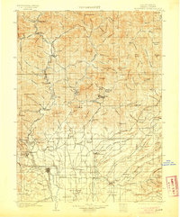
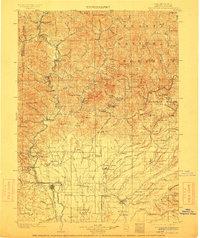
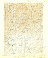
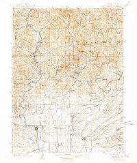
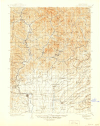
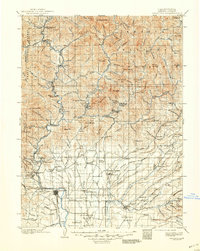
Redding and the upper Sacramento Valley serve as the anchor for this 1900 survey, which reveals a landscape defined by industrial extraction and the Southern Pacific R. R. corridor. The river network, including the Pit River and Cloudy River, supports a series of specialized settlements and works. To the north, the Baird Fish Hatchery sits near the confluence of major forks, while the mountains are peppered with active copper and gold prospects. Significant mining operations like the Bully Hill Mine, Uncle Sam Mine, and Afterthought Mine indicate the era's heavy mineral investment. Smaller settlements such as Kennett, Keswick, and the now-submerged Delta provide critical data for genealogists tracking early Shasta County families. South of the mountains, the terrain opens into the Stillwater Plains and Millville Plains, showing the early agricultural footprint around Enterprise and Palocedro.
Find a feature on this map
148 named features on this map. Tap any name to fly to it.
Don’t see what you’re looking for? This feature index may not catch every label — zoom into the map to look around manually.
Map Details
Editions of this 1901 Redding Map
7 editions found
Other maps of this area

1886 · Lassen Peak
USGS Topo · 1:250,000

1886 · Modoc Lava Bed
USGS Topo · 1:250,000

1886 · Shasta
USGS Topo · 1:250,000

1890 · Red Bluff
USGS Topo · 1:250,000

1892 · Modoc Lava-Bed
USGS Topo · 1:250,000

1892 · Lassen Peak
USGS Topo · 1:250,000

1894 · Lassen Peak
USGS Topo · 1:250,000

1894 · Red Bluff
USGS Topo · 1:250,000

1894 · Shasta
USGS Topo · 1:250,000

1913 · Weaverville
USGS Topo · 1:125,000