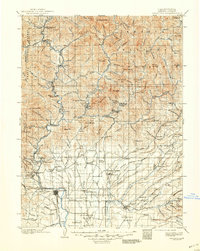
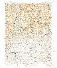
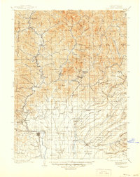
1901 Map of Redding
USGS Topo · Published 1948About this map
Redding serves as the focal point of this 1900 survey, situated at the southern edge of a landscape defined by the confluence of the Pit River and the Sacramento River. The region is a patchwork of early industrial and agricultural activity, evidenced by the Central Mine Spur and numerous small settlements such as Kennett and Keswick that supported the local mining and timber economies before the landscape was altered by mid-century dam projects. To the north, the Shasta National Forest encompasses steep terrain including Nawtawakit Mt and Bollibokka Mountain.
Find a feature on this map
165 named features on this map. Tap any name to fly to it.
Don’t see what you’re looking for? This feature index may not catch every label — zoom into the map to look around manually.
Map Details
Editions of this 1901 Redding Map
7 editions found
Other maps of this area

1886 · Lassen Peak
USGS Topo · 1:250,000

1886 · Modoc Lava Bed
USGS Topo · 1:250,000

1886 · Shasta
USGS Topo · 1:250,000

1890 · Red Bluff
USGS Topo · 1:250,000

1892 · Modoc Lava-Bed
USGS Topo · 1:250,000

1892 · Lassen Peak
USGS Topo · 1:250,000

1894 · Lassen Peak
USGS Topo · 1:250,000

1894 · Red Bluff
USGS Topo · 1:250,000

1894 · Shasta
USGS Topo · 1:250,000

1901 · Redding
USGS Topo · 1:125,000