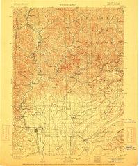
1901 Map of Redding
USGS Topo · Published 1913About this map
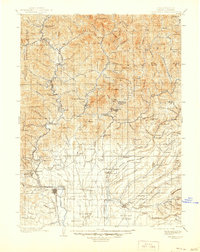
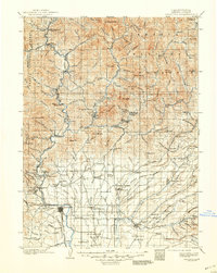
Redding serves as the focal point of this 1900 survey, situated where the Southern Pacific R. R. follows the Sacramento River through the heart of Shasta County. The landscape is a study in industrial and agricultural transition, from the mining hubs of Keswick and Kennett to the broad agricultural expanses of the Stillwater Plains and Millville Plains. This era represents a period before major dam construction altered the northern river systems, showing the original course of the Pit River and its confluence with the Sacramento near Baird. Settlements like Churntown, Whitehouse, and Bully Hill indicate a dense network of mining camps and early communities, while family-named locales such as Loomis Corners and Frazier Corners reveal the rural social fabric. The presence of the Central Mine Spur and smelting sites underscores the region's mineral-driven economy at the turn of the century.
Find a feature on this map
145 named features on this map. Tap any name to fly to it.
Don’t see what you’re looking for? This feature index may not catch every label — zoom into the map to look around manually.
Map Details
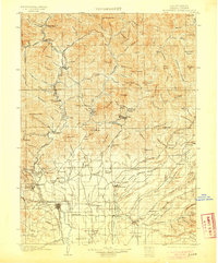
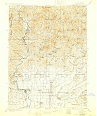
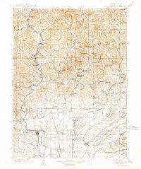
Editions of this 1901 Redding Map
7 editions found
Other maps of this area

1886 · Lassen Peak
USGS Topo · 1:250,000

1886 · Modoc Lava Bed
USGS Topo · 1:250,000

1886 · Shasta
USGS Topo · 1:250,000

1890 · Red Bluff
USGS Topo · 1:250,000

1892 · Modoc Lava-Bed
USGS Topo · 1:250,000

1892 · Lassen Peak
USGS Topo · 1:250,000

1894 · Lassen Peak
USGS Topo · 1:250,000

1894 · Red Bluff
USGS Topo · 1:250,000

1894 · Shasta
USGS Topo · 1:250,000

1901 · Redding
USGS Topo · 1:125,000