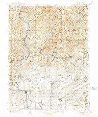
1901 Map of Redding
USGS Topo · Published 1938About this map
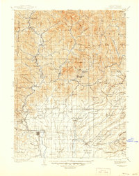
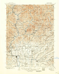
Redding and its surrounding northern California landscape are captured here before the major hydrological transformations of the mid-20th century. The Southern Pacific R. R. follows the winding course of the North Fork Sacramento River, serving a series of small riverfront settlements and industrial sites like Kennett, Keswick, and the Central Mine Spur. The map reveals the intricate network of water and terrain that defined the region at the turn of the century, where the McCloud River and Pit River converge. To the south, the landscape opens into the Stillwater Plains and Millville Plains, while the north remains dominated by the high elevations of the Shasta National Forest, including peaks such as Hirz Mt and Winnibulli Mt. Early transit routes like the Oregon Route provide a glimpse into the historic travel patterns connecting the Sacramento Valley to the northern territories.
Find a feature on this map
148 named features on this map. Tap any name to fly to it.
Don’t see what you’re looking for? This feature index may not catch every label — zoom into the map to look around manually.
Map Details
Editions of this 1901 Redding Map
7 editions found
Other maps of this area

1886 · Lassen Peak
USGS Topo · 1:250,000

1886 · Modoc Lava Bed
USGS Topo · 1:250,000

1886 · Shasta
USGS Topo · 1:250,000

1890 · Red Bluff
USGS Topo · 1:250,000

1892 · Modoc Lava-Bed
USGS Topo · 1:250,000

1892 · Lassen Peak
USGS Topo · 1:250,000

1894 · Lassen Peak
USGS Topo · 1:250,000

1894 · Red Bluff
USGS Topo · 1:250,000

1894 · Shasta
USGS Topo · 1:250,000

1901 · Redding
USGS Topo · 1:125,000