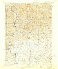
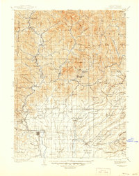
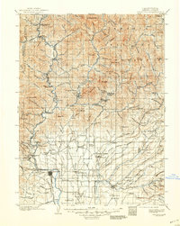
1901 Map of Redding
USGS Topo · Published 1928About this map
Redding serves as the focal point for this early 20th-century survey of the Sacramento River valley, showing a landscape defined by mining, timber, and the burgeoning rail infrastructure. The Southern Pacific R. R. cuts a precise path through the river canyon, passing through industrial hubs like Kennett and Keswick. In the northeast, the mining heritage is evident at Copper City and the Bully Hill Mine, while the mountain terrain is dotted with isolated outposts like Winton Lodge and Lamoine. Before the modern reservoir system transformed the geography, travelers relied on the Pit River Ferry and Mc Cloud River Ferry to navigate the rugged northern reaches. The transition from the alluvial Stillwater Plains to the high peaks of Shasta National Forest reveals the stark contrast between the agricultural settlements of Palo Cedro and the timber-rich highlands of Nawtawakit Mt.
Find a feature on this map
129 named features on this map. Tap any name to fly to it.
Don’t see what you’re looking for? This feature index may not catch every label — zoom into the map to look around manually.
Map Details
Editions of this 1901 Redding Map
7 editions found
Other maps of this area

1886 · Lassen Peak
USGS Topo · 1:250,000

1886 · Modoc Lava Bed
USGS Topo · 1:250,000

1886 · Shasta
USGS Topo · 1:250,000

1890 · Red Bluff
USGS Topo · 1:250,000

1892 · Modoc Lava-Bed
USGS Topo · 1:250,000

1892 · Lassen Peak
USGS Topo · 1:250,000

1894 · Lassen Peak
USGS Topo · 1:250,000

1894 · Red Bluff
USGS Topo · 1:250,000

1894 · Shasta
USGS Topo · 1:250,000

1901 · Redding
USGS Topo · 1:125,000