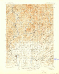
1901 Map of Redding
USGS Topo · Published 1944About this map
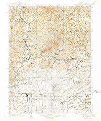
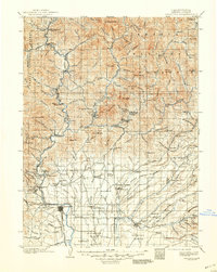
Redding serves as the focal point for this turn-of-the-century look at Northern California, where the Southern Pacific R.R. follows the path of the Sacramento River northward into the mountains. This era captures the region's industrial and settlement character before the landscape was altered by mid-century water projects. Mining and early settlements are prominent, with places like Kennett, Copper City, and Keswick illustrating the resource-driven economy of the upper Sacramento valley. To the east, the terrain levels out into the Swede Creek Plains and Stillwater Plains, revealing a distinct shift from the steep drainage of the Shasta National Forest to agricultural and grazing lands. Genealogists and historians can trace the early road networks connecting remote locations such as Furnaceville, Winthrop, and Bully Hill, while identifying many family-named peaks and gulches that defined local geography before the arrival of modern infrastructure.
Find a feature on this map
156 named features on this map. Tap any name to fly to it.
Don’t see what you’re looking for? This feature index may not catch every label — zoom into the map to look around manually.
Map Details
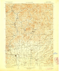
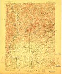
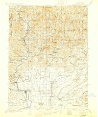
Editions of this 1901 Redding Map
7 editions found
Other maps of this area

1886 · Lassen Peak
USGS Topo · 1:250,000

1886 · Modoc Lava Bed
USGS Topo · 1:250,000

1886 · Shasta
USGS Topo · 1:250,000

1890 · Red Bluff
USGS Topo · 1:250,000

1892 · Modoc Lava-Bed
USGS Topo · 1:250,000

1892 · Lassen Peak
USGS Topo · 1:250,000

1894 · Lassen Peak
USGS Topo · 1:250,000

1894 · Red Bluff
USGS Topo · 1:250,000

1894 · Shasta
USGS Topo · 1:250,000

1901 · Redding
USGS Topo · 1:125,000