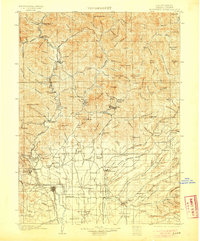
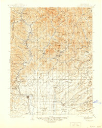
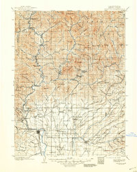
1901 Map of Redding
USGS Topo · Published 1905About this map
The Sacramento River and its major tributaries, the Pit River and McCloud River, converge in this detailed turn-of-the-century portrait of Shasta County. The Southern Pacific R.R. dictates the rhythm of the corridor, serving a landscape defined by mining operations and early fisheries. Notable industrial sites like Bully Hill and the Central Mine Spur near Keswick highlight the era's mineral extraction, while the Baird Fishery marks a significant early point of conservation on the McCloud River.
Find a feature on this map
164 named features on this map. Tap any name to fly to it.
Don’t see what you’re looking for? This feature index may not catch every label — zoom into the map to look around manually.
Map Details
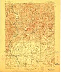
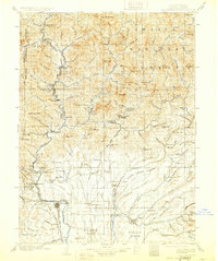
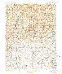
Editions of this 1901 Redding Map
7 editions found
Other maps of this area

1886 · Lassen Peak
USGS Topo · 1:250,000

1886 · Modoc Lava Bed
USGS Topo · 1:250,000

1886 · Shasta
USGS Topo · 1:250,000

1890 · Red Bluff
USGS Topo · 1:250,000

1892 · Modoc Lava-Bed
USGS Topo · 1:250,000

1892 · Lassen Peak
USGS Topo · 1:250,000

1894 · Lassen Peak
USGS Topo · 1:250,000

1894 · Red Bluff
USGS Topo · 1:250,000

1894 · Shasta
USGS Topo · 1:250,000

1901 · Redding
USGS Topo · 1:125,000