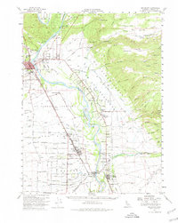
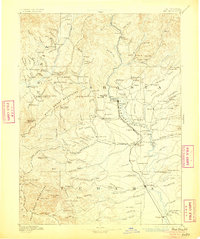
1894 Map of Red Bluff
USGS Topo · Published 1896About this map
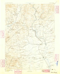
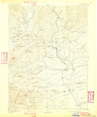
The Sacramento River corridor serves as the central artery of this Northern California survey, which documents the mining and transit landscape of the late nineteenth century. In the west, the Bully Choop Mountains and Yallo Bally Mountains rise sharply, dotted with mining outposts and early settlements like Weaverville and French Gulch. This era was defined by the transition from rugged pack trails to iron rails, as seen in the Central Pacific Railroad Oregon Division cutting south through Redding toward Tehama. Along the riverbanks, numerous crossings including Ball's Ferry and Logan's Ferry highlight the reliance on water transport before extensive bridging. The map also records the Fort Reading (Site) and a variety of industrial markers such as a Copper Mine near Furnaceville and Saw Mill locations, reflecting the region's early resource-driven economy.
Find a feature on this map
196 named features on this map. Tap any name to fly to it.
Don’t see what you’re looking for? This feature index may not catch every label — zoom into the map to look around manually.
Map Details
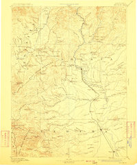
Editions of this 1894 Red Bluff Map
6 editions found
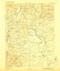
Historical Maps of Redding Through Time
4 maps found