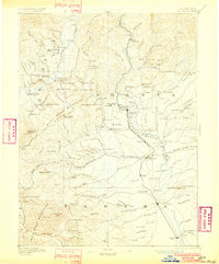
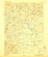
1894 Map of Red Bluff
USGS Topo · Published 1902About this map
Bully Choop Mountains and the Yallo Bally Mountains anchor this late-nineteenth-century survey of the northern Sacramento Valley and its rugged western surroundings. The Sacramento River corridor is the primary artery of commerce, featuring the Central Pacific Railroad and a string of historic river crossings including Ball's Ferry, Jelley's Ferry, and Logan's Ferry. Mining and early settlement patterns are clearly visible in the northern reaches, where the Furnaceville Copper Mine and the town of Minersville represent the region's industrial heritage.
Find a feature on this map
191 named features on this map. Tap any name to fly to it.
Don’t see what you’re looking for? This feature index may not catch every label — zoom into the map to look around manually.
Map Details
Editions of this 1894 Red Bluff Map
6 editions found
Other maps of this area

1886 · Lassen Peak
USGS Topo · 1:250,000

1886 · Modoc Lava Bed
USGS Topo · 1:250,000

1886 · Shasta
USGS Topo · 1:250,000

1890 · Red Bluff
USGS Topo · 1:250,000

1891 · Chico
USGS Topo · 1:125,000

1892 · Modoc Lava-Bed
USGS Topo · 1:250,000

1892 · Lassen Peak
USGS Topo · 1:250,000

1893 · Chico
USGS Topo · 1:125,000

1894 · Lassen Peak
USGS Topo · 1:250,000

1894 · Red Bluff
USGS Topo · 1:250,000