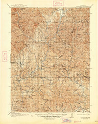
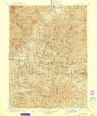
1913 Map of Weaverville
USGS Topo · Published 1947About this map
Gold mining operations and remote mountain ranches define this 1911 survey of the Northern California interior. The landscape is dominated by the steep drainages of the Trinity National Forest and Shasta National Forest, where industry concentrated around the county seat of Weaverville. The map documents a rugged extraction economy, showing the Globe Mine and Union Hill Mine west of the Trinity Co Shasta Co line, while the Balaklala Mine sits in the eastern reaches near Whiskytown.
Find a feature on this map
80 named features on this map. Tap any name to fly to it.
Don’t see what you’re looking for? This feature index may not catch every label — zoom into the map to look around manually.
Map Details
Editions of this 1913 Weaverville Map
6 editions found
Other maps of this area

1886 · Shasta
USGS Topo · 1:250,000

1890 · Red Bluff
USGS Topo · 1:250,000

1894 · Red Bluff
USGS Topo · 1:250,000

1894 · Shasta
USGS Topo · 1:250,000

1901 · Redding
USGS Topo · 1:125,000

1909 · Big Bar
USGS Topo · 1:96,000

1913 · Weaverville
USGS Topo · 1:125,000

1915 · Big Bar and Vicinity
USGS Topo · 1:250,000

1923 · Sawyers Bar
USGS Topo · 1:125,000

1931 · Hoaglin
USGS Topo · 1:96,000