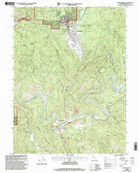
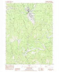
1998 Map of Weaverville
USGS Topo · Published 2003About this map
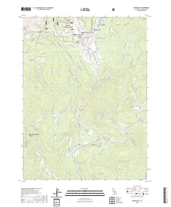
Hydraulic mining scars and tailings piles define the rugged landscape around Weaverville and Douglas City in this late 20th-century survey. The colossal scale of past industrial operations is evident at the La Grange Mine (Hydraulic) near Oregon Mountain Summit and the Union Hill Mine (Hydraulic) further south, where man-made excavations and Tailings follow the winding course of the Trinity River.
Find a feature on this map
52 named features on this map. Tap any name to fly to it.
Don’t see what you’re looking for? This feature index may not catch every label — zoom into the map to look around manually.
Map Details
Editions of this 1998 Weaverville Map
This is the sole edition of this map. No revisions or reprints were ever made.
Historical Maps of Weaverville Through Time
9 maps found
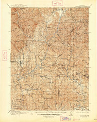
1913 Weaverville
Trinity County, CA
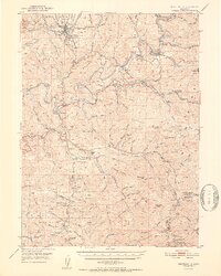
1950 Weaverville
Trinity County, CA
1952 Weaverville
Trinity County, CA
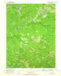
1982 Weaverville
Trinity County, CA
1998 Weaverville
Trinity County, CA
2012 Weaverville
Trinity County, CA
2015 Weaverville
Trinity County, CA
2018 Weaverville
Trinity County, CA
2022 Weaverville
Trinity County, CA