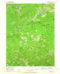
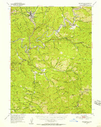
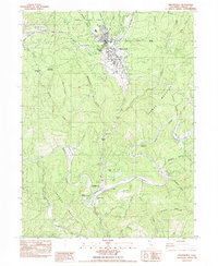
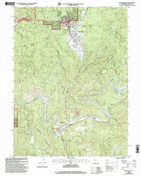
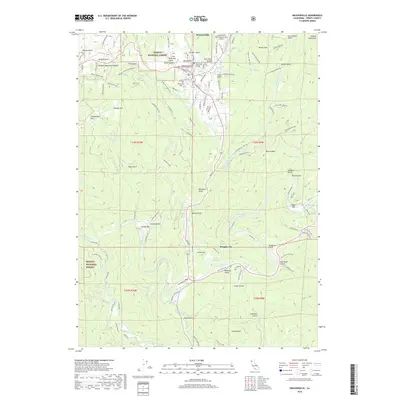
1950 Map of Weaverville
USGS Topo · Published 1965About this map
Weaverville serves as the focal point of this Trinity County survey, illustrating a mountain community deeply tied to its gold rush origins and hydraulic mining history. The landscape is defined by the winding course of the Trinity River and a dense network of water conveyance systems like the Union Hill Ditch, which once fed the area's massive industrial mining operations. Traces of early settlement diversity are visible in the proximity of the Chinese Cem and Indian Cem near the town center, reflecting the varied populations that converged here during the 19th-century mineral booms.
Find a feature on this map
107 named features on this map. Tap any name to fly to it.
Don’t see what you’re looking for? This feature index may not catch every label — zoom into the map to look around manually.
Map Details
Editions of this 1950 Weaverville Map
2 editions found
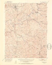
Historical Maps of Weaverville Through Time
9 maps found
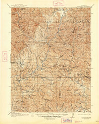
1913 Weaverville
Trinity County, CA
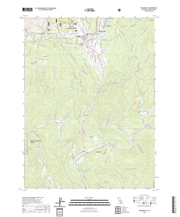
1950 Weaverville
Trinity County, CA
1952 Weaverville
Trinity County, CA
1982 Weaverville
Trinity County, CA
1998 Weaverville
Trinity County, CA
2012 Weaverville
Trinity County, CA
2015 Weaverville
Trinity County, CA
2018 Weaverville
Trinity County, CA
2022 Weaverville
Trinity County, CA