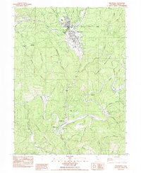
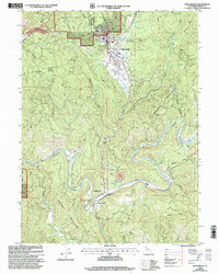
1982 Map of Weaverville
USGS Topo · Published 1982About this map
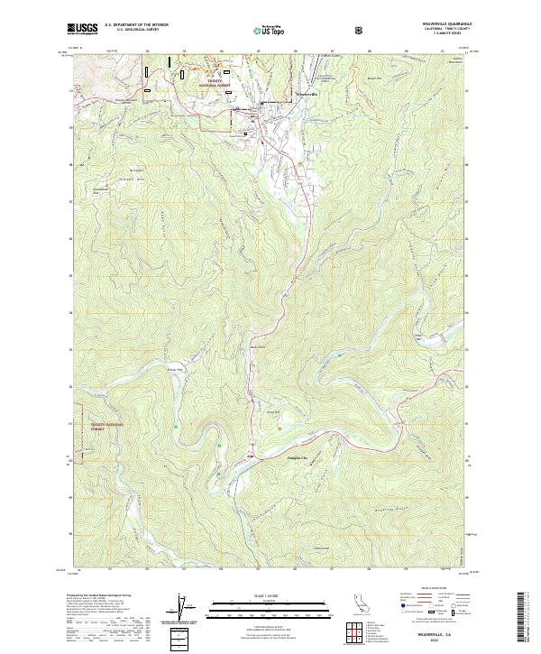
Union Hill Mine Hydraulic Mine and the historic La Grange Mine reveal the heavy industrial footprint of gold-era hydraulic operations in this corner of the Trinity National Forest. The landscape is deeply etched by mining activity, evident in the extensive Tailings deposits along the Trinity River and the numerous named gulches like Ten Cent Gulch and Five Cent Gulch that drain toward Weaverville. The town itself serves as a hub of development, featuring a Golf Course, Lowden Park, and the Weaverville Airport. To the south, Douglas City sits at a bend in the river near the Readings Bar Site, marking an area where early river-based settlements once thrived. This 1980s-era data shows the transition from extractive industry to a landscape defined by forest management and recreation, including the Douglas City Campground.
Find a feature on this map
56 named features on this map. Tap any name to fly to it.
Don’t see what you’re looking for? This feature index may not catch every label — zoom into the map to look around manually.
Map Details
Editions of this 1982 Weaverville Map
This is the sole edition of this map. No revisions or reprints were ever made.
Historical Maps of Weaverville Through Time
9 maps found
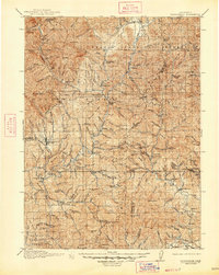
1913 Weaverville
Trinity County, CA
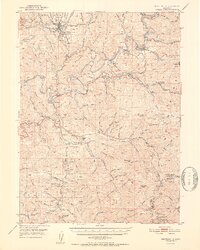
1950 Weaverville
Trinity County, CA
1952 Weaverville
Trinity County, CA
1982 Weaverville
Trinity County, CA
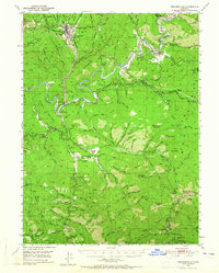
1998 Weaverville
Trinity County, CA
2012 Weaverville
Trinity County, CA
2015 Weaverville
Trinity County, CA
2018 Weaverville
Trinity County, CA
2022 Weaverville
Trinity County, CA