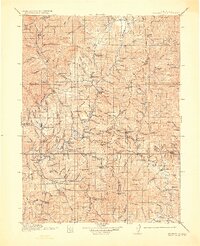
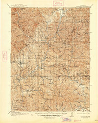
1913 Map of Weaverville
USGS Topo · Published 1928About this map
The Weaverville district in 1911 was defined by a complex network of hydraulic and hard-rock mining operations carved into the Trinity River basin. This survey captures the intense industrial activity of the era, from the massive La Grange Mine near the county seat to the clustered shafts of French Gulch, including the Niagara Mine and Washington Mine. Small settlements and family-held outposts like Bowermans Ranch, Adams Ranch, and Hinkles Ranch are scattered along the creeks, while the Minersville P O serves the remote interior. The landscape is a mix of rugged peaks like Bully Choop Mtn and Weaver Bally, connected by the early State Road. This detailed topographic record illustrates the transition from pioneer ranching to a structured industrial mining economy, documenting long-established waypoints such as Tower House and Whiskytown before the mid-century landscape changes.
Find a feature on this map
175 named features on this map. Tap any name to fly to it.
Don’t see what you’re looking for? This feature index may not catch every label — zoom into the map to look around manually.
Map Details
Editions of this 1913 Weaverville Map
6 editions found
Other maps of this area

1886 · Shasta
USGS Topo · 1:250,000

1890 · Red Bluff
USGS Topo · 1:250,000

1894 · Red Bluff
USGS Topo · 1:250,000

1894 · Shasta
USGS Topo · 1:250,000

1901 · Redding
USGS Topo · 1:125,000

1909 · Big Bar
USGS Topo · 1:96,000

1913 · Weaverville
USGS Topo · 1:125,000

1915 · Big Bar and Vicinity
USGS Topo · 1:250,000

1923 · Sawyers Bar
USGS Topo · 1:125,000

1931 · Hoaglin
USGS Topo · 1:96,000