
1934 Map of Etna
USGS Topo · Published 1934About this map
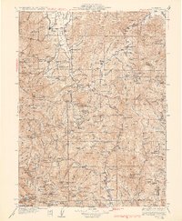
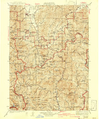
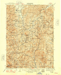
Etna serves as the gateway to this mountainous landscape of the early 1930s, where the Scott River and its numerous forks define the settlement patterns of Siskiyou and Trinity counties. The map captures a transition point in California mineral extraction and forestry, shown through the concentration of namesake mines like the Zarina Mine, Engle Mine, and Altoona Mine. Small mountain schoolhouses, including McConnahue Sch and East Fork Sch, indicate the persistent rural communities tucked into the valleys between the Shasta National Forest and Trinity National Forest.
Find a feature on this map
184 named features on this map. Tap any name to fly to it.
Don’t see what you’re looking for? This feature index may not catch every label — zoom into the map to look around manually.
Map Details
Editions of this 1934 Etna Map
4 editions found
Other maps of this area

1886 · Shasta
USGS Topo · 1:250,000

1890 · Red Bluff
USGS Topo · 1:250,000

1894 · Red Bluff
USGS Topo · 1:250,000

1894 · Shasta
USGS Topo · 1:250,000

1901 · Redding
USGS Topo · 1:125,000

1909 · Big Bar
USGS Topo · 1:96,000

1913 · Weaverville
USGS Topo · 1:125,000

1914 · Seiad
USGS Topo · 1:125,000

1915 · Big Bar and Vicinity
USGS Topo · 1:250,000

1921 · Shasta Valley Sheet No 7
USGS Topo · 1:24,000