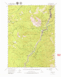
1954 Map of Dunsmuir
USGS Topo · Published 1979About this map
The Sacramento River corridor in the mid-1950s serves as the primary artery for transport and settlement, with the Southern Pacific Railroad and the Pacific Highway (U.S. 99) tightly hugging the riverbanks. This era captures the region's transition into a destination for mountain recreation and resource management, anchored by the iconic Castle Crags and the established Castle Crags State Park. Settlements like Dunsmuir and Castella appear as vital mountain hubs, while smaller railroad and post office locations such as Sweetbriar, Sims, and Gibson dot the canyon floor.
Find a feature on this map
94 named features on this map. Tap any name to fly to it.
Don’t see what you’re looking for? This feature index may not catch every label — zoom into the map to look around manually.
Map Details
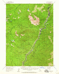
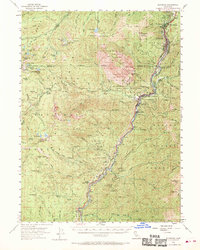
Editions of this 1954 Dunsmuir Map
4 editions found

Other maps of this area

1886 · Shasta
USGS Topo · 1:250,000

1890 · Red Bluff
USGS Topo · 1:250,000

1894 · Red Bluff
USGS Topo · 1:250,000

1894 · Shasta
USGS Topo · 1:250,000

1901 · Redding
USGS Topo · 1:125,000

1913 · Weaverville
USGS Topo · 1:125,000

1923 · Sawyers Bar
USGS Topo · 1:125,000

1931 · Etna
USGS Topo · 1:96,000

1934 · Etna
USGS Topo · 1:125,000

1935 · Dunsmuir
USGS Topo · 1:125,000