Loading...
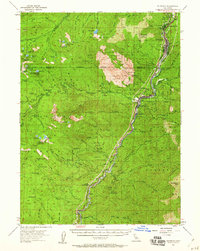
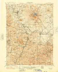
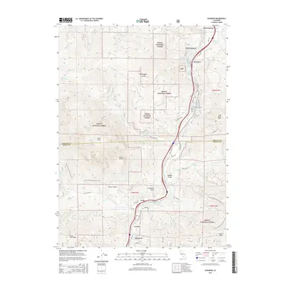
Loading map...1954 Map of Dunsmuir
USGS Topo · Published 1960About this map
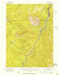
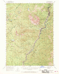
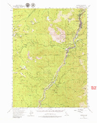
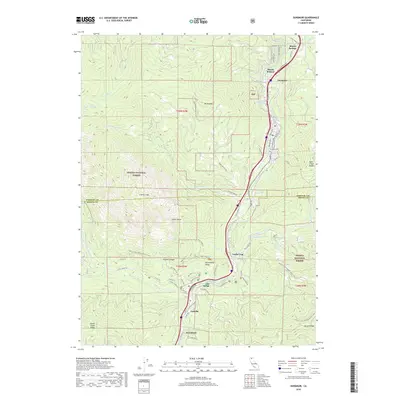
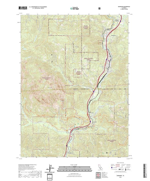
The canyon of the Sacramento River serves as the primary corridor for human activity and transportation in this mid-century survey, anchored by the railroad town of Dunsmuir. The Southern Pacific Railroad and U.S. Highway 99 parallel the river's winding course, connecting small settlements like Castella, Sweetbriar, and Shasta Retreat. This layout reflects an economy and lifestyle inextricably tied to the narrow valley floor, while the surrounding terrain rises sharply into the peaks of Castle Crags State Park.
Find a feature on this map
96 named features on this map. Tap any name to fly to it.
Don’t see what you’re looking for? This feature index may not catch every label — zoom into the map to look around manually.
Map Details
Date Portrayed1954
Date Published1960
PublisherU.S. Geological Survey
Map TypeTopographic
Scale1:62,500
Physical Dimensions16.5 x 20.7 inches
Editions of this 1954 Dunsmuir Map
4 editions found
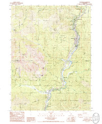
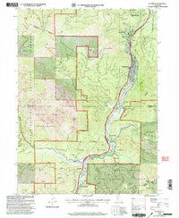
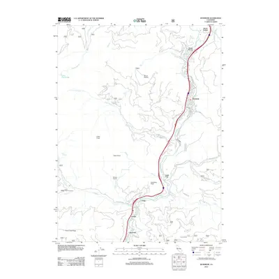
Historical Maps of Dunsmuir Through Time
8 maps found
Featured Locations
Source Details
SourceU.S. Geological Survey
CopyrightPublic Domain