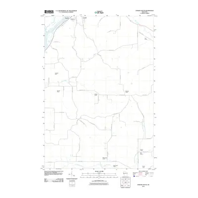
2010 Map of Durand South
USGS Topo · Published 2010About this map
The Chippewa River flows through the northwestern corner of this landscape, defining the edge of Durand and the neighboring Thompson Slough. Away from the river, the terrain is characterized by a series of distinct valleys and ridges that reveal a complex rural drainage system. Named formations like Limekiln Bluff and the Dividing Ridge separate the agricultural lands of Stanley Valley and Golden Valley.
Find a feature on this map
47 named features on this map. Tap any name to fly to it.
Don’t see what you’re looking for? This feature index may not catch every label — zoom into the map to look around manually.
Map Details
Editions of this 2010 Durand South Map
This is the sole edition of this map. No revisions or reprints were ever made.
Other maps of this area

1929 · Durand
USGS Topo · 1:62,500

1932 · Wabasha
USGS Topo · 1:62,500

1932 · Durand
USGS Topo · 1:62,500

1932 · Alma
USGS Topo · 1:62,500

1935 · Arkansaw
USGS Topo · 1:48,000

1941 · Arkansaw
USGS Topo · 1:62,500

1942 · Arkansaw
USGS Topo · 1:62,500

1950 · Alma
USGS Topo · 1:62,500

1951 · Wabasha
USGS Topo · 1:62,500

1953 · Saint Paul
USGS Topo · 1:250,000